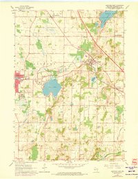
1959 Map of Hartford East
USGS Topo · Published 1973About this map
Glacial geology and the mid-century rail network define this pocket of Washington County. The Chicago Milwaukee St Paul and Pacific rail lines converge at Slinger, a central junction point near the marshy shores of Mud Lake. To the west, the expansive Pike Lake and its accompanying Pike Lake State Park are surrounded by several gravel pits, revealing the region's industrial reliance on glacial deposits. The landscape is dotted with small agricultural hubs and historical crossroads like St Lawrence, Ackerville, and Diefenbach Corners.
Find a feature on this map
43 named features on this map. Tap any name to fly to it.
Don’t see what you’re looking for? This feature index may not catch every label — zoom into the map to look around manually.
Map Details
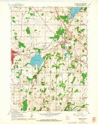
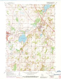
Editions of this 1959 Hartford East Map
3 editions found
Other maps of this area

1892 · Waukesha
USGS Topo · 1:62,500

1892 · Oconomowoc
USGS Topo · 1:62,500

1901 · Waukesha
USGS Topo · 1:62,500

1904 · West Bend
USGS Topo · 1:62,500

1904 · Hartford
USGS Topo · 1:62,500

1906 · Waukesha
USGS Topo · 1:62,500

1909 · Oconomowoc
USGS Topo · 1:62,500

1957 · Madison
USGS Topo · 1:250,000

1959 · West Bend
USGS Topo · 1:62,500
1959 · Stonebank
USGS Topo · 1:24,000