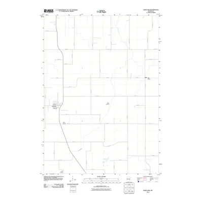
2010 Map of Hartland
USGS Topo · Published 2010About this map
Hartland stands as the primary settlement in this section of Freeborn County, characterized by a traditional Midwestern grid of section-line roads and agricultural tracts. The Le Sueur River winds through the southwestern and northern reaches of the quadrangle, serving as a primary drainage feature for the surrounding prairie. Significant for family history research, the map identifies several local burial sites including Hartland Cemetery, South Hartland Cemetery, and West Freeborn Cemetery.
Find a feature on this map
39 named features on this map. Tap any name to fly to it.
Don’t see what you’re looking for? This feature index may not catch every label — zoom into the map to look around manually.
Map Details
Editions of this 2010 Hartland Map
This is the sole edition of this map. No revisions or reprints were ever made.
Other maps of this area

1954 · Albert Lea
USGS Topo · 1:62,500

1954 · Mason City
USGS Topo · 1:250,000

1955 · Wells
USGS Topo · 1:62,500

1957 · Mason City
USGS Topo · 1:250,000

1958 · Mason City
USGS Topo · 1:250,000

1967 · Freeborn
USGS Topo · 1:24,000
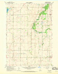
1967 · Otisco
USGS Topo · 1:24,000
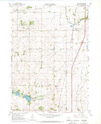
1967 · Hope
USGS Topo · 1:24,000

1967 · Hartland
USGS Topo · 1:24,000

1967 · Ellendale
USGS Topo · 1:24,000