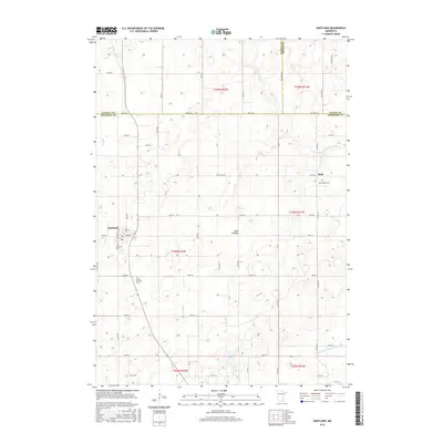
2016 Map of Hartland
USGS Topo · Published 2016About this map
Hartland and Bath anchor this southern Minnesota landscape where the headwaters of the Le Sueur River and Boot Cr drain an area defined by agricultural development and the intersection of three counties. The map captures a high degree of local detail for genealogists, including the Hartland Cem, South Hartland Cem, and Saint Aidens Cem in the township of Bath.
Find a feature on this map
50 named features on this map. Tap any name to fly to it.
Don’t see what you’re looking for? This feature index may not catch every label — zoom into the map to look around manually.
Map Details
Editions of this 2016 Hartland Map
This is the sole edition of this map. No revisions or reprints were ever made.
Other maps of this area

1954 · Albert Lea
USGS Topo · 1:62,500

1954 · Mason City
USGS Topo · 1:250,000

1955 · Wells
USGS Topo · 1:62,500

1957 · Mason City
USGS Topo · 1:250,000

1958 · Mason City
USGS Topo · 1:250,000

1967 · Freeborn
USGS Topo · 1:24,000
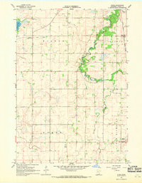
1967 · Otisco
USGS Topo · 1:24,000
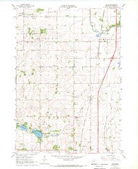
1967 · Hope
USGS Topo · 1:24,000

1967 · Hartland
USGS Topo · 1:24,000

1967 · Ellendale
USGS Topo · 1:24,000