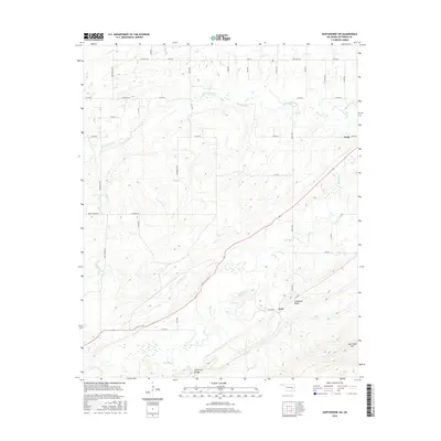
2016 Map of Hartshorne SW
USGS Topo · Published 2016About this map
Limestone Ridge and New State Mountain dominate the southern landscape of this Pittsburg County area, where the terrain transitions from the broken hills of the McAlester coal district into the northern reaches of the Ouachita foothills. The settlement of Arch sits at the foot of these elevations, connected by local routes like Bache Road and Ray Road to the northern flats. The map traces a network of watercourses, including the winding Peaceable Creek and Brushy Creek, which drain the valley between the ridges. In the northeast, the community of Craig marks a point of intersection for rural roads such as Roso Road and E1480 Road. The presence of the Lime Arch Bridge over Brushy Creek highlights local infrastructure built to navigate the numerous stream crossings that define the township's layout.
Find a feature on this map
48 named features on this map. Tap any name to fly to it.
Don’t see what you’re looking for? This feature index may not catch every label — zoom into the map to look around manually.
Map Details
Editions of this 2016 Hartshorne SW Map
This is the sole edition of this map. No revisions or reprints were ever made.
Other maps of this area

1898 · McAlester
USGS Topo · 1:125,000

1909 · Mc Alester
USGS Topo · 1:125,000

1950 · Mcalester
USGS Topo · 1:250,000

1962 · McAlester
USGS Topo · 1:250,000

1965 · McAlester
USGS Topo · 1:250,000

1967 · Pittsburg
USGS Topo · 1:24,000

1967 · Krebs
USGS Topo · 1:24,000
1967 · Mc Alester
USGS Topo · 1:24,000
1967 · Adamson
USGS Topo · 1:24,000

1967 · Hartshorne SW
USGS Topo · 1:24,000