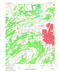
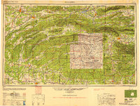
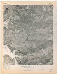
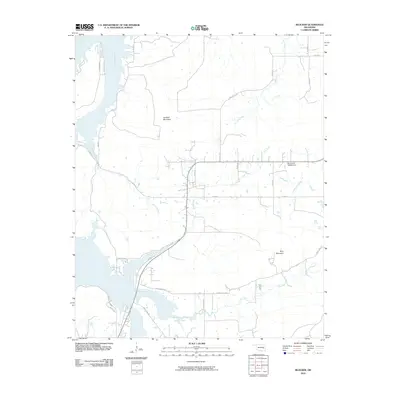
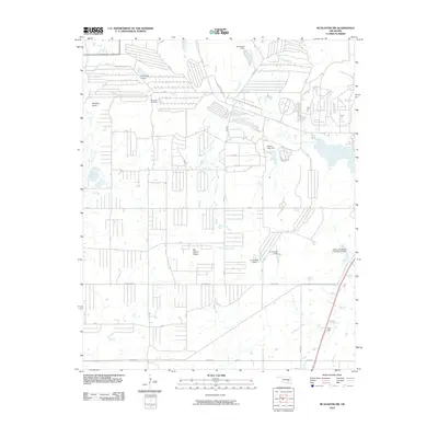
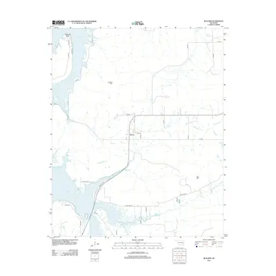
1967 Map of Mc Alester
USGS Topo · Published 1968About this map
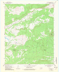
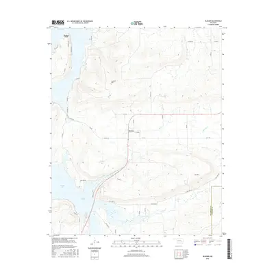
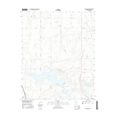
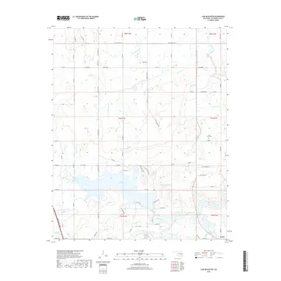
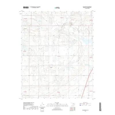
State Penitentiary grounds and the city of Mc Alester dominate the landscape in this late 1960s study of Pittsburg County. The map details the complex footprint of the prison, including the Penitentiary Boundary, nearby Prison Lake, and a dedicated Prison Cem. A dense network of local education and civil infrastructure is visible throughout the urban center, from L'Ouverture Sch and Will Rogers Sch to the Hospital and numerous neighborhood parks.
Find a feature on this map
58 named features on this map. Tap any name to fly to it.
Don’t see what you’re looking for? This feature index may not catch every label — zoom into the map to look around manually.
Map Details
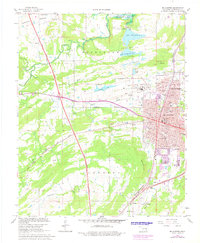
Editions of this 1967 Mc Alester Map
3 editions found
Historical Maps of McAlester Through Time
55 maps found
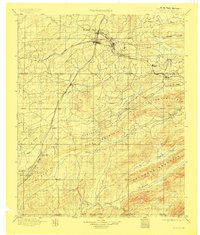
1898 Mc Alester
Pittsburg County, OK
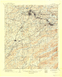
1909 Mc Alester
Pittsburg County, OK
1950 Mcalester
Pittsburg County, OK
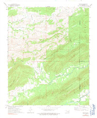
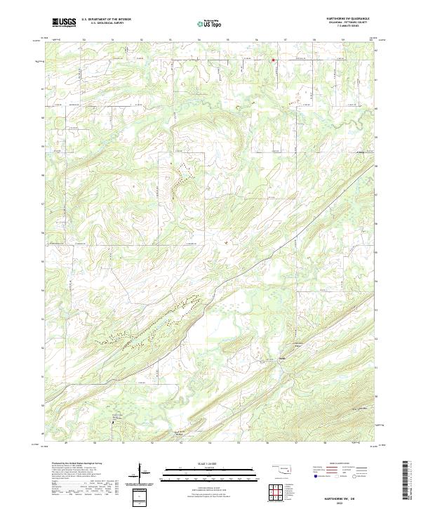
1967 Hartshorne SW
Pittsburg County, OK
1967 Mc Alester
Pittsburg County, OK
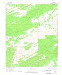
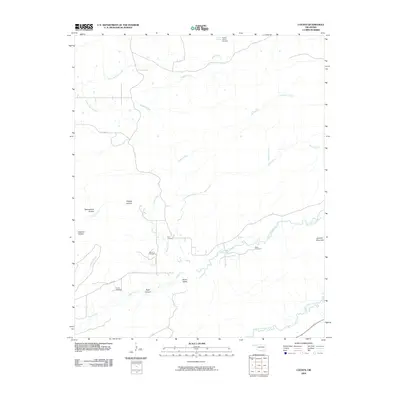
1967 Mc Alester SW
Pittsburg County, OK
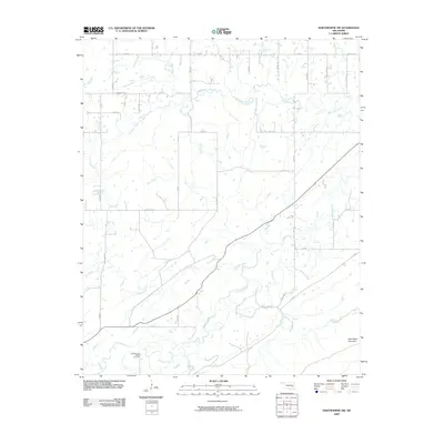
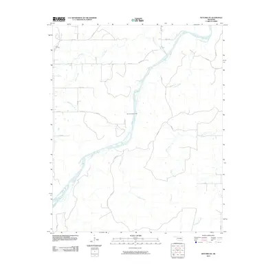
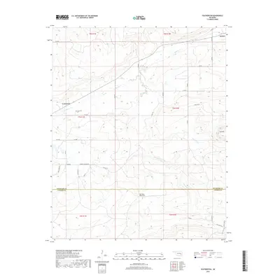
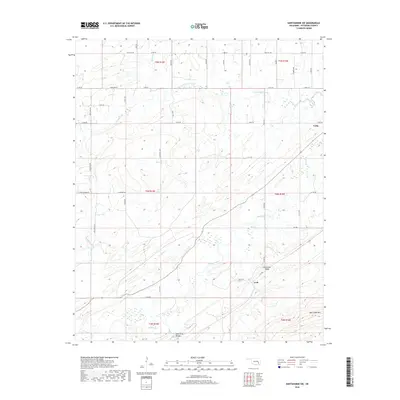
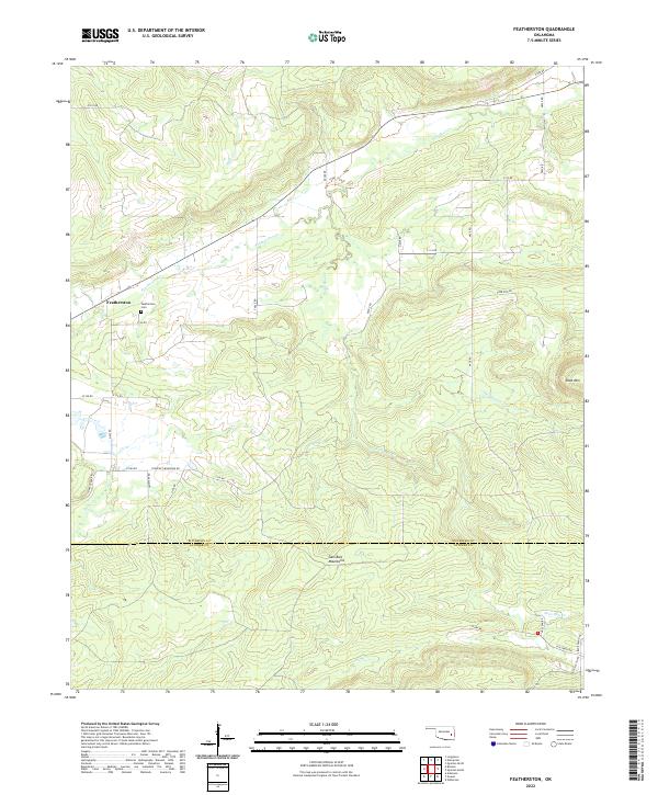
1969 Featherston
Pittsburg County, OK
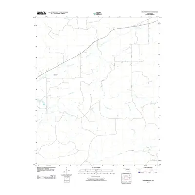
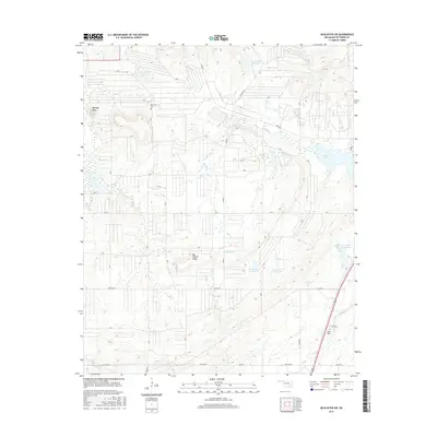
1971 Blocker
Pittsburg County, OK
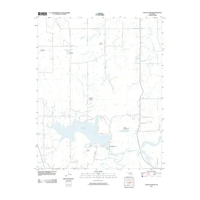
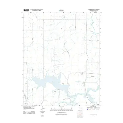
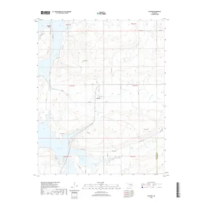
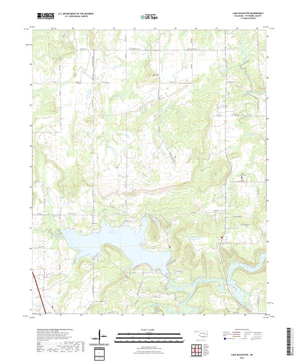
1971 Lake Mc Alester
Pittsburg County, OK
1971 Wetumka SE
Pittsburg County, OK
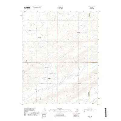
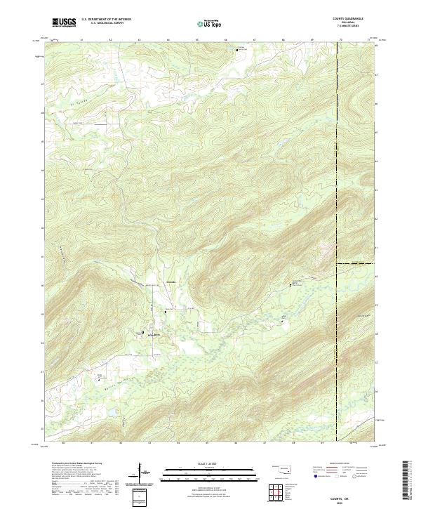
1973 Counts
Pittsburg County, OK
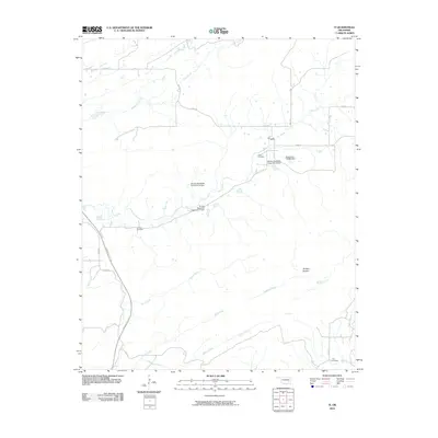
1973 Ti
Pittsburg County, OK
1977 Blocker
Pittsburg County, OK
1977 Featherston
Pittsburg County, OK

1991 Mc Alester
Pittsburg County, OK
2009 Counts
Pittsburg County, OK
2009 Hartshorne SW
Pittsburg County, OK
2010 Blocker
Pittsburg County, OK
2010 Featherston
Pittsburg County, OK
2010 Lake McAlester
Pittsburg County, OK
2010 McAlester SW
Pittsburg County, OK
2010 Ti
Pittsburg County, OK
2010 Wetumka SE
Pittsburg County, OK
2012 Blocker
Pittsburg County, OK
2012 Counts
Pittsburg County, OK
2012 Featherston
Pittsburg County, OK
2012 Hartshorne SW
Pittsburg County, OK
2012 Lake McAlester
Pittsburg County, OK
2012 McAlester SW
Pittsburg County, OK
2012 Ti
Pittsburg County, OK
2012 Wetumka SE
Pittsburg County, OK
2016 Blocker
Pittsburg County, OK
2016 Counts
Pittsburg County, OK
2016 Featherston
Pittsburg County, OK
2016 Hartshorne SW
Pittsburg County, OK
2016 Lake McAlester
Pittsburg County, OK
2016 McAlester SW
Pittsburg County, OK
2016 Ti
Pittsburg County, OK

2016 Wetumka SE
Pittsburg County, OK
2018 Blocker
Pittsburg County, OK
2018 Counts
Pittsburg County, OK
2018 Featherston
Pittsburg County, OK
2018 Hartshorne SW
Pittsburg County, OK
2018 Lake McAlester
Pittsburg County, OK
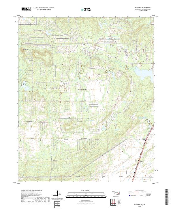
2018 McAlester SW
Pittsburg County, OK
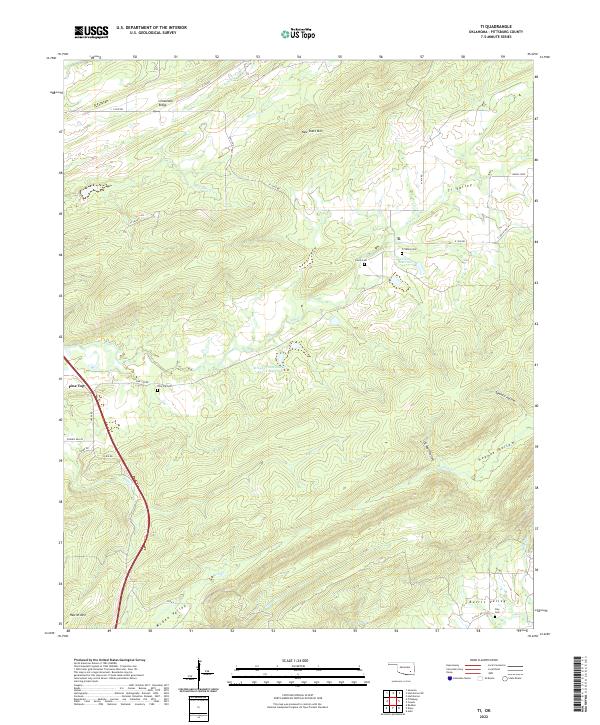
2018 Ti
Pittsburg County, OK
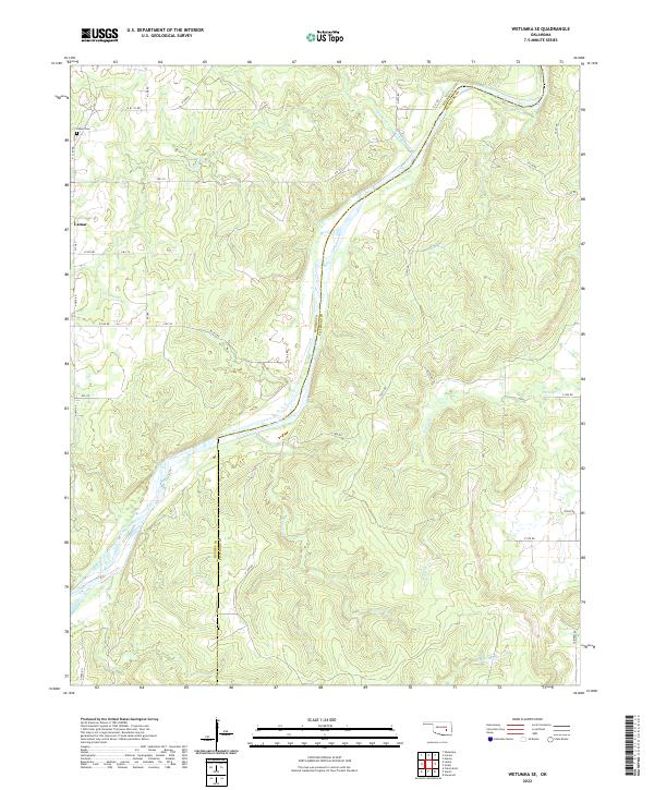
2018 Wetumka SE
Pittsburg County, OK
2022 Blocker
Pittsburg County, OK
2022 Counts
Pittsburg County, OK
2022 Featherston
Pittsburg County, OK
2022 Hartshorne SW
Pittsburg County, OK
2022 Lake McAlester
Pittsburg County, OK
2022 McAlester SW
Pittsburg County, OK
2022 Ti
Pittsburg County, OK
2022 Wetumka SE
Pittsburg County, OK