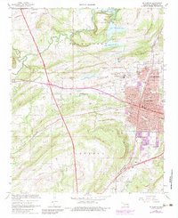
1967 Map of Mc Alester
USGS Topo · Published 1983About this map
Mc Alester sits at a critical intersection of Oklahoma industry and infrastructure during the late 1960s. The landscape is defined by the vast State Penitentiary grounds, which includes its own Prison Lake, Prison Cem, and extensive Penitentiary Boundary. The urban footprint of North McAlester and the main city shows a dense grid of streets named for presidents and tribes, such as Choctaw Ave and Adams Ave. Transportation networks are prominent, featuring the Indian Nation Turnpike cutting through the western hills and the Missouri-Kansas-Texas and Chicago Rock Island and Pacific railroads converging near the city center. To the south and west, the terrain shifts into the Bucklucky and Tannehill areas, where rural life is anchored by the Tannehill Sch and Tannehill Cem. Water resources like Lake Talawanda No 2 and the southern reach of Eufaula Lake reflect the region's managed landscape.
Find a feature on this map
78 named features on this map. Tap any name to fly to it.
Don’t see what you’re looking for? This feature index may not catch every label — zoom into the map to look around manually.
Map Details
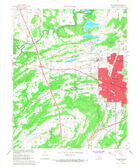
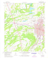
Editions of this 1967 Mc Alester Map
3 editions found
Other maps of this area

1898 · McAlester
USGS Topo · 1:125,000

1900 · Canadian
USGS Topo · 1:125,000

1909 · Mc Alester
USGS Topo · 1:125,000

1946 · Fort Smith
USGS Topo · 1:250,000

1950 · Mcalester
USGS Topo · 1:250,000

1962 · McAlester
USGS Topo · 1:250,000

1965 · Fort Smith
USGS Topo · 1:250,000

1965 · McAlester
USGS Topo · 1:250,000
1966 · Haywood
USGS Topo · 1:24,000

1967 · Fort Smith
USGS Topo · 1:250,000