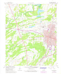
1967 Map of Mc Alester
USGS Topo · Published 1978About this map
The State Penitentiary and its sprawling grounds dominate the central landscape of this Pittsburg County survey, featuring specialized facilities like a Shale Pit, Kilns, and a Prison Cemetery. To the north, the waters of Eufaula Lake reach into the quadrangle via Coal Creek, near the municipal Waterworks and the dual basins of Lake Talawanda No. 1 and Lake Talawanda No. 2.
Find a feature on this map
79 named features on this map. Tap any name to fly to it.
Don’t see what you’re looking for? This feature index may not catch every label — zoom into the map to look around manually.
Map Details
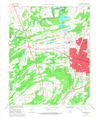
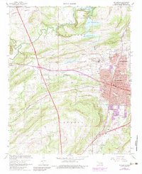
Editions of this 1967 Mc Alester Map
3 editions found
Other maps of this area

1898 · McAlester
USGS Topo · 1:125,000

1900 · Canadian
USGS Topo · 1:125,000

1909 · Mc Alester
USGS Topo · 1:125,000

1946 · Fort Smith
USGS Topo · 1:250,000

1950 · Mcalester
USGS Topo · 1:250,000

1962 · McAlester
USGS Topo · 1:250,000

1965 · Fort Smith
USGS Topo · 1:250,000

1965 · McAlester
USGS Topo · 1:250,000
1966 · Haywood
USGS Topo · 1:24,000

1967 · Fort Smith
USGS Topo · 1:250,000