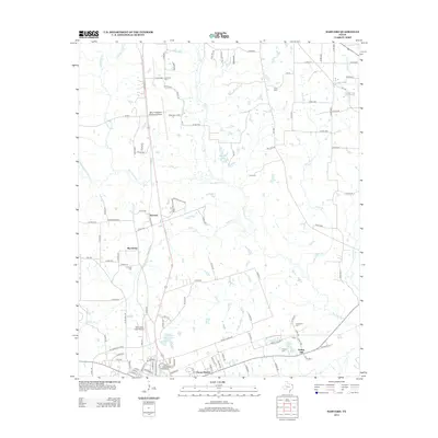
2013 Map of Harvard
USGS Topo · Published 2013About this map
Big Cypress Creek and its many tributaries, including Walkers Creek and Hart Creek, define the drainage patterns north of the Mount Pleasant Regional Airport. This 2013 survey reveals a landscape where rural community life and regional infrastructure meet, centered around settlements like Harvard and Macedonia. The presence of the Northeast Texas Community College campus in the northeast and residential developments such as Pecan Heights in the south reflect the area's growth. Genealogists will find a high density of burial grounds throughout the quadrangle, from the isolated Concord Cemetery and Cook Cemetery to the Traylor Cemetery near Spring Hill. The map also documents numerous small bodies of water, such as Sandin Lake and Hopkins Lake, which are characteristic of the East Texas wetland systems before they feed into the larger creek basins.
Find a feature on this map
115 named features on this map. Tap any name to fly to it.
Don’t see what you’re looking for? This feature index may not catch every label — zoom into the map to look around manually.
Map Details
Editions of this 2013 Harvard Map
This is the sole edition of this map. No revisions or reprints were ever made.
Other maps of this area

1953 · Texarkana
USGS Topo · 1:250,000

1956 · Texarkana
USGS Topo · 1:250,000

1956 · Tyler
USGS Topo · 1:250,000

1960 · Leesburg
USGS Topo · 1:24,000

1960 · La Fayette
USGS Topo · 1:24,000

1960 · Pittsburg
USGS Topo · 1:24,000

1964 · Harvard
USGS Topo · 1:24,000

1964 · Cason
USGS Topo · 1:24,000

1965 · Winfield
USGS Topo · 1:24,000

1965 · Monticello
USGS Topo · 1:24,000