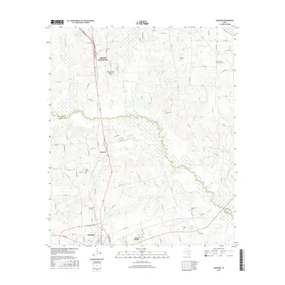
2016 Map of Harvard
USGS Topo · Published 2016About this map
Big Cypress Cr meanders along the boundary between Titus and Camp Counties, anchoring a landscape of agricultural tracts and scattered family homesteads. The corridor along US Hwy 271 serves as the primary artery connecting the southern outskirts of Mount Pleasant with the northern edge of Pittsburg. Between these centers lies the small settlement of Harvard, surrounded by numerous rural landmarks that reflect generations of local history.
Find a feature on this map
82 named features on this map. Tap any name to fly to it.
Don’t see what you’re looking for? This feature index may not catch every label — zoom into the map to look around manually.
Map Details
Editions of this 2016 Harvard Map
This is the sole edition of this map. No revisions or reprints were ever made.
Other maps of this area

1953 · Texarkana
USGS Topo · 1:250,000

1956 · Texarkana
USGS Topo · 1:250,000

1956 · Tyler
USGS Topo · 1:250,000

1960 · Leesburg
USGS Topo · 1:24,000

1960 · La Fayette
USGS Topo · 1:24,000

1960 · Pittsburg
USGS Topo · 1:24,000

1964 · Harvard
USGS Topo · 1:24,000

1964 · Cason
USGS Topo · 1:24,000

1965 · Winfield
USGS Topo · 1:24,000

1965 · Monticello
USGS Topo · 1:24,000