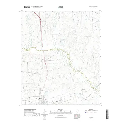
2019 Map of Harvard
USGS Topo · Published 2019About this map
Big Cypress Creek defines the local landscape, carving a winding boundary between Titus and Camp Counties. The terrain is characterized by a network of small drainages including Walkers Creek and Hart Creek that feed into larger bodies such as Sandlin Lake and Beaver Lake. The settlement of Pittsburg occupies the southern reach of the sheet, while the small community of Harvard sits further north along the highway corridor.
Find a feature on this map
112 named features on this map. Tap any name to fly to it.
Don’t see what you’re looking for? This feature index may not catch every label — zoom into the map to look around manually.
Map Details
Editions of this 2019 Harvard Map
This is the sole edition of this map. No revisions or reprints were ever made.
Other maps of this area

1953 · Texarkana
USGS Topo · 1:250,000

1956 · Texarkana
USGS Topo · 1:250,000

1956 · Tyler
USGS Topo · 1:250,000

1960 · Leesburg
USGS Topo · 1:24,000

1960 · La Fayette
USGS Topo · 1:24,000

1960 · Pittsburg
USGS Topo · 1:24,000

1964 · Harvard
USGS Topo · 1:24,000

1964 · Cason
USGS Topo · 1:24,000

1965 · Winfield
USGS Topo · 1:24,000

1965 · Monticello
USGS Topo · 1:24,000