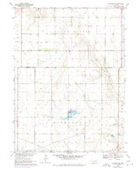
1969 Map of Hastings NW
USGS Topo · Published 1977About this map
South Platte and Highland townships define this portion of the Nebraska plains during the late 1960s, showing a landscape structured by agriculture and early water management. The Big Blue River and its West Fork meander through the southern sections, while a dedicated Fish Hatchery and its adjacent Lagoon indicate specialized land use north of the Highland area.
Find a feature on this map
18 named features on this map. Tap any name to fly to it.
Don’t see what you’re looking for? This feature index may not catch every label — zoom into the map to look around manually.
Map Details
Editions of this 1969 Hastings NW Map
2 editions found
Other maps of this area

1892 · Grand Island
USGS Topo · 1:62,500

1894 · Kenesaw
USGS Topo · 1:62,500

1895 · Grand Island
USGS Topo · 1:62,500

1895 · Wood River
USGS Topo · 1:62,500

1896 · Wood River
USGS Topo · 1:125,000

1898 · Grand Island
USGS Topo · 1:125,000

1955 · Grand Island
USGS Topo · 1:250,000

1957 · Grand Island
USGS Topo · 1:250,000

1958 · Grand Island
USGS Topo · 1:250,000

1962 · Prosser
USGS Topo · 1:24,000