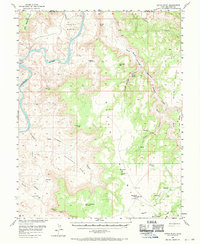
1954 Map of Hatch Point
USGS Topo · Published 1970About this map
The Colorado River carves a dramatic path through this high desert plateau, forming the iconic Goose Neck and passing beneath the heights of Dead Horse Point. This mid-century survey, conducted with cooperation from the Atomic Energy Commission, documents a landscape of immense geologic scale where the high plains of Hatch Point drop away into the expansive Shafer Basin and Lockhart Basin. The map captures an era of early industrial exploration in the canyon country, noted by Oil Wells and a Landing Strip situated on the remote flats. Seasonal water sources like Dripping Spring and Kane Springs provide the only reliable moisture in a world of sandstone fins and deep drainages, including the formidable labyrinth of Behind the Rocks.
Find a feature on this map
44 named features on this map. Tap any name to fly to it.
Don’t see what you’re looking for? This feature index may not catch every label — zoom into the map to look around manually.
Map Details
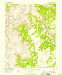
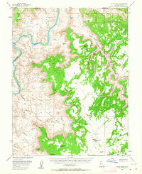
Editions of this 1954 Hatch Point Map
3 editions found
Other maps of this area

1885 · La Sal
USGS Topo · 1:250,000

1951 · The Knoll
USGS Topo · 1:62,500

1951 · Upheaval Dome
USGS Topo · 1:62,500

1952 · Carlisle 2 SE
USGS Topo · 1:24,000

1952 · Moab 3 SE
USGS Topo · 1:24,000

1952 · Carlisle 2 NE
USGS Topo · 1:24,000

1952 · Moab 4 SW
USGS Topo · 1:24,000

1953 · The Needles
USGS Topo · 1:62,500

1954 · Mt Peale 3 NW
USGS Topo · 1:24,000

1954 · Mt Peale 2 SW
USGS Topo · 1:24,000