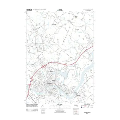
2012 Map of Haverhill
USGS Topo · Published 2012About this map
The Merrimack River bisects this landscape, separating the core of Haverhill from the Bradford district to the south. This survey captures a modern New England urban-industrial layout as it appeared in the early 21st century, with dense neighborhood grids giving way to hills like Silver Hill and Golden Hill. The institutional history of the area is well-represented, featuring Northern Essex Community College and Bradford College.
Find a feature on this map
353 named features on this map. Tap any name to fly to it.
Don’t see what you’re looking for? This feature index may not catch every label — zoom into the map to look around manually.
Map Details
Editions of this 2012 Haverhill Map
This is the sole edition of this map. No revisions or reprints were ever made.
Other maps of this area

1886 · Lawrence
USGS Topo · 1:62,500

1888 · Newburyport
USGS Topo · 1:62,500

1888 · Haverhill
USGS Topo · 1:62,500

1888 · Lawrence
USGS Topo · 1:62,500

1888 · Salem
USGS Topo · 1:62,500

1890 · Haverhill
USGS Topo · 1:62,500

1890 · Newburyport
USGS Topo · 1:62,500

1893 · Salem
USGS Topo · 1:62,500

1893 · Lawrence
USGS Topo · 1:62,500

1893 · Haverhill
USGS Topo · 1:62,500