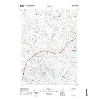
2021 Map of Haverhill
USGS Topo · Published 2021About this map
Haverhill and the winding Merrimack River anchor this 2021 study of the Massachusetts-New Hampshire borderlands. The landscape transitions from the dense urban grid of Bradford and Riverside to the rolling terrain of Brandy Brow Hill and Ayers Hill. This modern survey details a region deeply shaped by its waterways and glacial geography, from the sprawling waters of Kenoza Lake and Lake Pentucket to the smaller basins of Neal Pond and Lake Saltonstall.
Find a feature on this map
286 named features on this map. Tap any name to fly to it.
Don’t see what you’re looking for? This feature index may not catch every label — zoom into the map to look around manually.
Map Details
Editions of this 2021 Haverhill Map
This is the sole edition of this map. No revisions or reprints were ever made.
Other maps of this area

1886 · Lawrence
USGS Topo · 1:62,500

1888 · Newburyport
USGS Topo · 1:62,500

1888 · Haverhill
USGS Topo · 1:62,500

1888 · Lawrence
USGS Topo · 1:62,500

1888 · Salem
USGS Topo · 1:62,500

1890 · Haverhill
USGS Topo · 1:62,500

1890 · Newburyport
USGS Topo · 1:62,500

1893 · Salem
USGS Topo · 1:62,500

1893 · Lawrence
USGS Topo · 1:62,500

1893 · Haverhill
USGS Topo · 1:62,500