
1935 Map of Haverhill
USGS Topo · Published 1935About this map
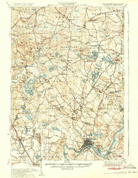
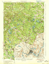
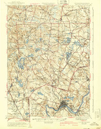
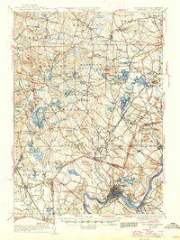
The Merrimack River serves as the dominant geographic anchor for this 1935 survey, cutting through the southern landscape and defining the urban development of Haverhill. This era shows the dense rail infrastructure of the Boston and Maine Railroad, including specific spurs like the Georgetown Branch of B & M RR and numerous stops such as Atkinson Depot and Fremont Sta.. The border between New Hampshire and Massachusetts bisects the map, separating rural townships like Hampstead and Danville from the more industrial corridors of the south.
Find a feature on this map
143 named features on this map. Tap any name to fly to it.
Don’t see what you’re looking for? This feature index may not catch every label — zoom into the map to look around manually.
Map Details
Editions of this 1935 Haverhill Map
5 editions found
Other maps of this area

1886 · Lawrence
USGS Topo · 1:62,500

1886 · Lowell
USGS Topo · 1:62,500

1888 · Newburyport
USGS Topo · 1:62,500

1888 · Haverhill
USGS Topo · 1:62,500

1888 · Lawrence
USGS Topo · 1:62,500

1888 · Salem
USGS Topo · 1:62,500

1890 · Haverhill
USGS Topo · 1:62,500

1890 · Newburyport
USGS Topo · 1:62,500

1893 · Lowell
USGS Topo · 1:62,500

1893 · Dover
USGS Topo · 1:62,500