Loading...
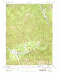
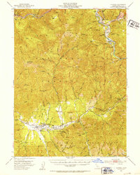
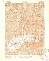
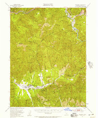
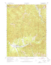
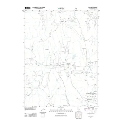
Loading map...1951 Map of Hayfork
USGS Topo · Published 1969About this map
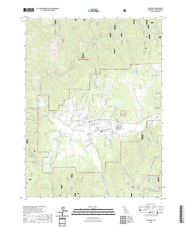
Hayfork Valley serves as the central hub of this mid-century survey, where the Hayfork settlement and its nearby Landing Field anchor a landscape defined by the drainage of the Trinity River. The terrain transitions from the agricultural flats of Big Creek Ranch and Eagle Ranch to the steep ridges of Trinity National Forest, where high-elevation landmarks like Hayfork Bally and Barker Mtn overlook a labyrinth of gulches and creeks.
Find a feature on this map
98 named features on this map. Tap any name to fly to it.
Don’t see what you’re looking for? This feature index may not catch every label — zoom into the map to look around manually.
Map Details
Date Portrayed1951
Date Published1969
PublisherU.S. Geological Survey
Map TypeTopographic
Scale1:62,500
Physical Dimensions17.3 x 20.9 inches
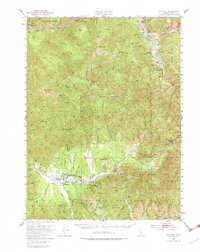
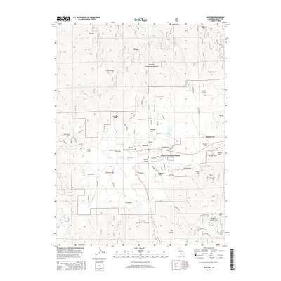
Editions of this 1951 Hayfork Map
6 editions found
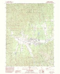
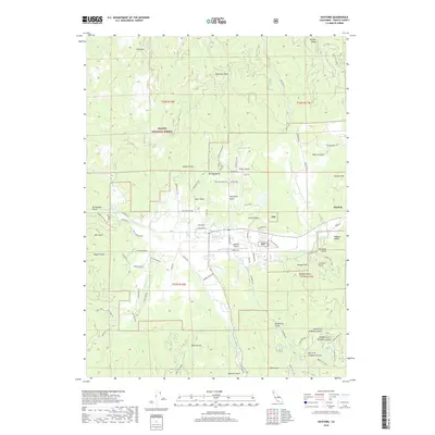
Historical Maps of Hayfork Through Time
8 maps found

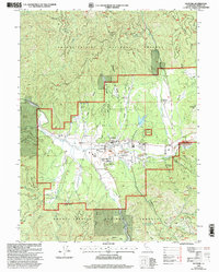
Featured Locations
Source Details
SourceU.S. Geological Survey
CopyrightPublic Domain