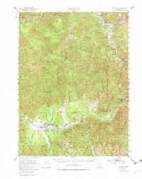
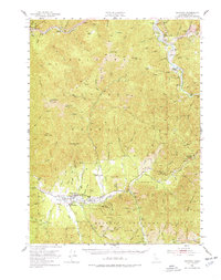
1951 Map of Hayfork
USGS Topo · Published 1982About this map
Hayfork serves as the central hub of this mid-century survey, situated in a fertile valley surrounded by the peaks of the Trinity National Forest. The map documents a rugged landscape defined by the Salmon Mtns and the winding course of the Trinity River, which passes through historical river-bound settlements like Big Bar and Junction City. Economic activity in the region is clearly etched into the terrain, showing a transition from the river-level flats to higher-elevation resource extraction.
Find a feature on this map
53 named features on this map. Tap any name to fly to it.
Don’t see what you’re looking for? This feature index may not catch every label — zoom into the map to look around manually.
Map Details
Editions of this 1951 Hayfork Map
6 editions found

Other maps of this area

1890 · Red Bluff
USGS Topo · 1:250,000

1894 · Red Bluff
USGS Topo · 1:250,000

1909 · Big Bar
USGS Topo · 1:96,000

1913 · Weaverville
USGS Topo · 1:125,000

1915 · Big Bar and Vicinity
USGS Topo · 1:250,000

1918 · Anada
USGS Topo · 1:62,500

1931 · Hoaglin
USGS Topo · 1:96,000

1935 · Hoaglin
USGS Topo · 1:125,000

1950 · Minersville
USGS Topo · 1:62,500

1950 · Weaverville
USGS Topo · 1:62,500