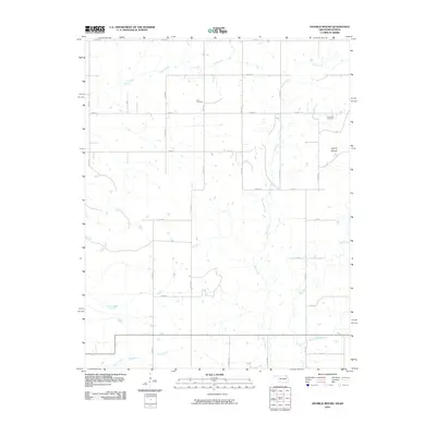
2010 Map of Hayrick Mound
USGS Topo · Published 2010About this map
Hayrick Mound rises as a prominent landmark in this prairie landscape along the Oklahoma-Kansas border. The topography is defined by the dendritic drainage patterns of several tributaries, including Rock Creek, Brush Creek, and Big Creek, which carve gentle relief into the agricultural grid. This 2010 survey illustrates a region dominated by a systematic section-line road network, where rural life is anchored by family-named sites and burial grounds like Lain Cemetery and Plainview Cemetery. The southern reaches of the map show the headwaters of Tucker Creek and the East Fork Big Creek, where the land begins to slope toward the Oklahoma state line. The map serves as a precise record of rural infrastructure, detailing a web of county and local roads such as Co RD 4 and S 4270 RD that connect the isolated farmsteads of Labette County.
Find a feature on this map
36 named features on this map. Tap any name to fly to it.
Don’t see what you’re looking for? This feature index may not catch every label — zoom into the map to look around manually.
Map Details
Editions of this 2010 Hayrick Mound Map
This is the sole edition of this map. No revisions or reprints were ever made.
Other maps of this area

1886 · Independence
USGS Topo · 1:125,000

1886 · Parsons
USGS Topo · 1:125,000

1893 · Parsons
USGS Topo · 1:125,000

1894 · Independence
USGS Topo · 1:125,000

1901 · Nowata
USGS Topo · 1:125,000

1901 · Vinita
USGS Topo · 1:125,000

1905 · Independence
USGS Topo · 1:125,000

1913 · Vinita
USGS Topo · 1:125,000

1914 · Nowata
USGS Topo · 1:125,000

1946 · Mound Valley
USGS Topo · 1:62,500