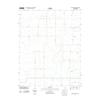
2012 Map of Hayrick Mound
USGS Topo · Published 2012About this map
Hayrick Mound rises as the most prominent geological landmark on this landscape, situated near the modern border of Labette County in Kansas and extending toward Oklahoma. The terrain is defined by an intricate network of waterways, including Rock Cr and Brush Cr in the northern reaches, while the south is drained by Big Cr and its tributary, E Fork Big Cr. This map documents the rural character of the area in the early 21st century, showing a grid of section-line roads such as n4270 RD and e0040 RD. Genealogists and local historians will find significant value in the location of small, rural burial grounds like Lain Cem and Plainview Cem, which serve as quiet markers of the families who settled this agricultural region. The drainage patterns of Crow Hollow Cr and Tucker Cr further illustrate the natural hydrology that shaped local land use and farm placement.
Find a feature on this map
36 named features on this map. Tap any name to fly to it.
Don’t see what you’re looking for? This feature index may not catch every label — zoom into the map to look around manually.
Map Details
Editions of this 2012 Hayrick Mound Map
This is the sole edition of this map. No revisions or reprints were ever made.
Other maps of this area

1886 · Independence
USGS Topo · 1:125,000

1886 · Parsons
USGS Topo · 1:125,000

1893 · Parsons
USGS Topo · 1:125,000

1894 · Independence
USGS Topo · 1:125,000

1901 · Nowata
USGS Topo · 1:125,000

1901 · Vinita
USGS Topo · 1:125,000

1905 · Independence
USGS Topo · 1:125,000

1913 · Vinita
USGS Topo · 1:125,000

1914 · Nowata
USGS Topo · 1:125,000

1946 · Mound Valley
USGS Topo · 1:62,500