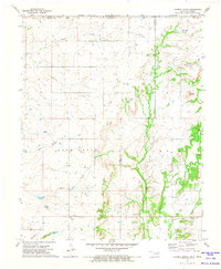
1972 Map of Hayrick Mound
USGS Topo · Published 1974About this map
Rock Creek and Brush Creek flow through this northeastern Oklahoma landscape along the border of Nowata and Craig Counties in the early 1970s. The area is defined by its rural community centers, notably the Wimer Community Ch and Pleasant View Ch, which served as anchors for the surrounding farmsteads. The topography is dominated by Hayrick Mound, a prominent elevation that rises above the drainage basins of Cedar Creek and Big Creek. Genealogists will find particular value in the documentation of local burial grounds such as Lain Cem and Plainview Cem. The map also captures the political geography of Snow Creek Twp, illustrating how early land divisions and township lines persisted into the late twentieth century near the Kansas state line.
Find a feature on this map
17 named features on this map. Tap any name to fly to it.
Don’t see what you’re looking for? This feature index may not catch every label — zoom into the map to look around manually.
Map Details
Editions of this 1972 Hayrick Mound Map
This is the sole edition of this map. No revisions or reprints were ever made.
Other maps of this area

1886 · Independence
USGS Topo · 1:125,000

1886 · Parsons
USGS Topo · 1:125,000

1893 · Parsons
USGS Topo · 1:125,000

1894 · Independence
USGS Topo · 1:125,000

1901 · Nowata
USGS Topo · 1:125,000

1901 · Vinita
USGS Topo · 1:125,000

1905 · Independence
USGS Topo · 1:125,000

1913 · Vinita
USGS Topo · 1:125,000

1914 · Nowata
USGS Topo · 1:125,000

1946 · Mound Valley
USGS Topo · 1:62,500