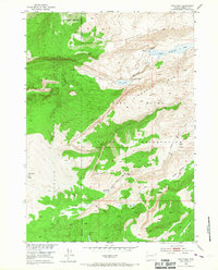
1952 Map of Hays Park
USGS Topo · Published 1967About this map
Sacagawea Ridge and the heights of the Wind River Range dominate this mid-century topographic study, which defines the meeting point of the Wind River Indian Reservation and Shoshone National Forest. The landscape is characterized by high alpine drainage systems where Dinwoody Creek flows past Upper Dinwoody Lake and a Natural Bridge. The survey illustrates the complex hydrology of the eastern slope, with water moving through Little Dry Creek and Dry Creek toward the valley below. Geographic interest is centered on high-altitude landmarks like Dinwoody Peak and the namesake Hays Park area. For researchers, the map provides precise placement of the Reservation Boundary and early mountain routes such as the Gannett Road, documenting the intersection of tribal lands and federal forest management during the post-war era.
Find a feature on this map
24 named features on this map. Tap any name to fly to it.
Don’t see what you’re looking for? This feature index may not catch every label — zoom into the map to look around manually.
Map Details
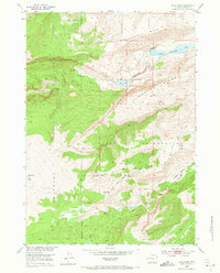
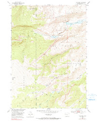
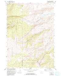
Editions of this 1952 Hays Park Map
5 editions found
Other maps of this area

1909 · Fremont Peak
USGS Topo · 1:125,000

1952 · Wilderness
USGS Topo · 1:24,000

1952 · Hays Park
USGS Topo · 1:24,000

1952 · Bob Lakes
USGS Topo · 1:24,000

1952 · Blue Holes
USGS Topo · 1:24,000

1952 · Burris
USGS Topo · 1:24,000

1952 · Kirkland Park
USGS Topo · 1:24,000

1955 · Thermopolis
USGS Topo · 1:250,000

1958 · Thermopolis
USGS Topo · 1:250,000

1962 · Thermopolis
USGS Topo · 1:250,000