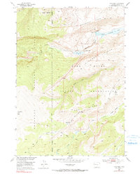
1952 Map of Hays Park
USGS Topo · Published 1991About this map
Wind River Indian Reservation and the Shoshone National Forest meet in this 1952 study of high-altitude topography. The map illustrates a landscape of significant relief, where the Reservation Boundary follows the divide of the Sacagawea Ridge and Dinwoody Ridge. The drainage system is central to the area's character, featuring Upper Dinwoody Lake and Mud Lake, with water moving through Dinwoody Creek toward a geological Natural Bridge. The survey details the high-country access provided by the Dinwoody Trail, crossing through Hays Park near Relic Creek. Evidence of high-altitude life includes Cold Springs and the sheltered Hidden Valley, providing a record of this wilderness before contemporary developments in the Missouri River Basin.
Find a feature on this map
23 named features on this map. Tap any name to fly to it.
Don’t see what you’re looking for? This feature index may not catch every label — zoom into the map to look around manually.
Map Details
Editions of this 1952 Hays Park Map
5 editions found
Other maps of this area

1909 · Fremont Peak
USGS Topo · 1:125,000

1952 · Wilderness
USGS Topo · 1:24,000

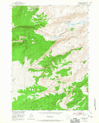
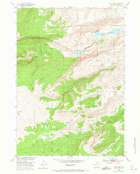
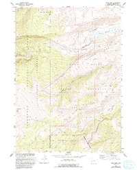
1952 · Hays Park
USGS Topo · 1:24,000

1952 · Bob Lakes
USGS Topo · 1:24,000

1952 · Blue Holes
USGS Topo · 1:24,000

1952 · Burris
USGS Topo · 1:24,000

1952 · Kirkland Park
USGS Topo · 1:24,000

1955 · Thermopolis
USGS Topo · 1:250,000

1958 · Thermopolis
USGS Topo · 1:250,000

1962 · Thermopolis
USGS Topo · 1:250,000