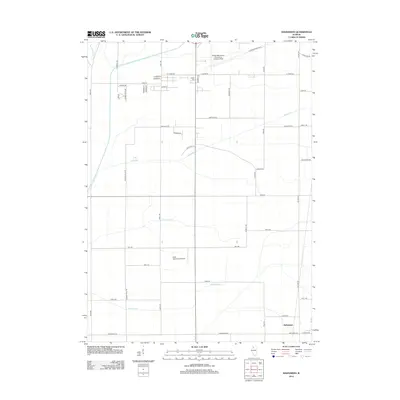
2024 Map of Hazelhurst
USGS Topo · Published 2024About this map
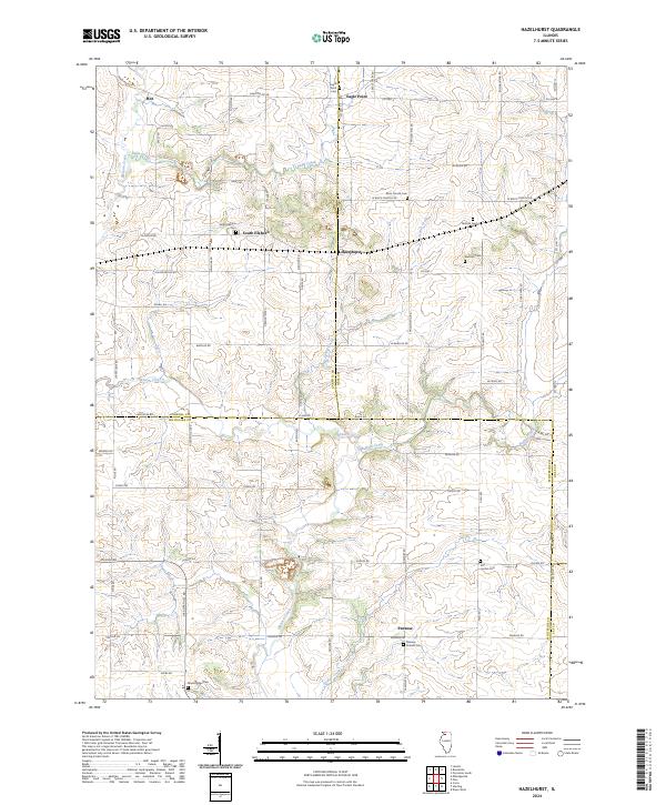
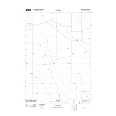
Hazelhurst serves as a central point in this rural landscape, where the borders of Carroll, Ogle, Whiteside, and Lee counties converge. This modern survey illustrates a deeply rooted agricultural pattern, defined by a network of local roads such as Lovers Lane Rd and W Brick Church Rd that connect small settlements. The area is notable for its numerous burial grounds, including the Penrose Friends Cem near Penrose and the Brick Church Cem to the north, which provide valuable reference points for genealogical research in this part of Illinois.
Find a feature on this map
68 named features on this map. Tap any name to fly to it.
Don’t see what you’re looking for? This feature index may not catch every label — zoom into the map to look around manually.
Map Details
Editions of this 2024 Hazelhurst Map
This is the sole edition of this map. No revisions or reprints were ever made.
Historical Maps of Eagle Point Through Time
25 maps found

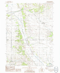
1930 Woodsung
Whiteside County, IL
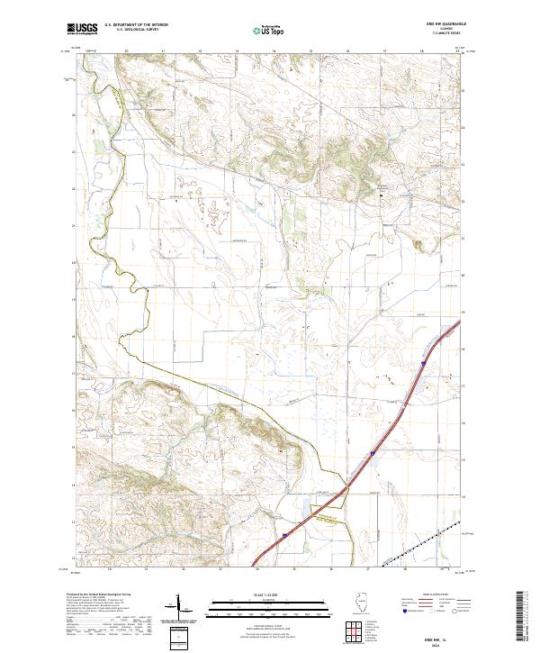
1982 Erie NW
Whiteside County, IL
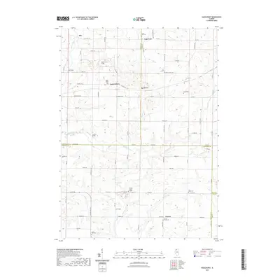
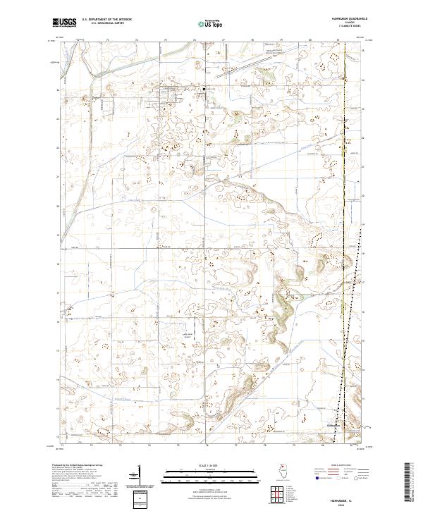
1982 Hahnaman
Whiteside County, IL
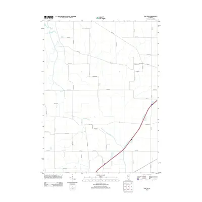
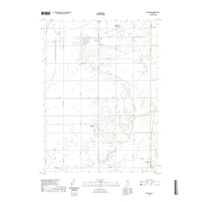
1983 Hazelhurst
Whiteside County, IL
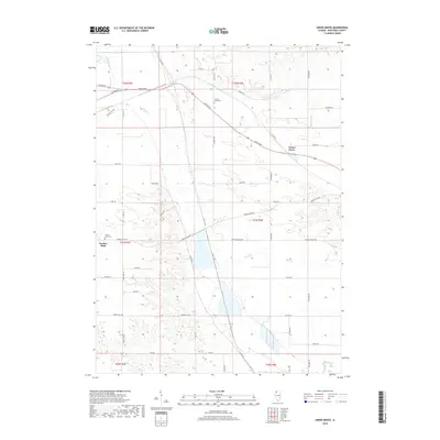
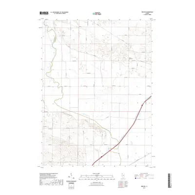
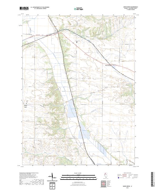
1985 Union Grove
Whiteside County, IL
2012 Erie NW
Whiteside County, IL
2012 Hahnaman
Whiteside County, IL
2012 Hazelhurst
Whiteside County, IL
2012 Union Grove
Whiteside County, IL
2015 Erie NW
Whiteside County, IL
2015 Hahnaman
Whiteside County, IL
2015 Hazelhurst
Whiteside County, IL
2015 Union Grove
Whiteside County, IL
2018 Erie NW
Whiteside County, IL
2018 Hahnaman
Whiteside County, IL
2018 Hazelhurst
Whiteside County, IL
2018 Union Grove
Whiteside County, IL
2021 Erie NW
Whiteside County, IL
2021 Hahnaman
Whiteside County, IL
2021 Hazelhurst
Whiteside County, IL
2021 Union Grove
Whiteside County, IL
2024 Erie NW
Whiteside County, IL
2024 Hahnaman
Whiteside County, IL
2024 Hazelhurst
Whiteside County, IL
2024 Union Grove
Whiteside County, IL
Featured Locations
- Palmyra Township, IL
- Eagle Point Township, IL
- Woosung Township, IL
- Buffalo Township, IL
- Eagle Point, Eagle Point Township