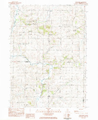
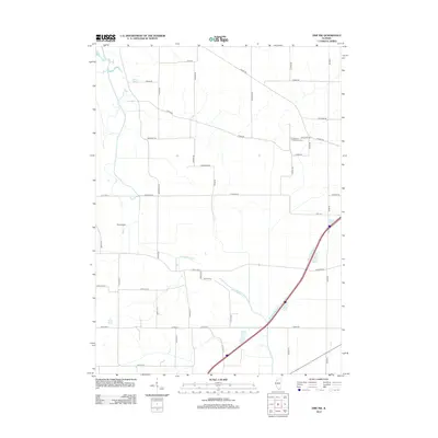
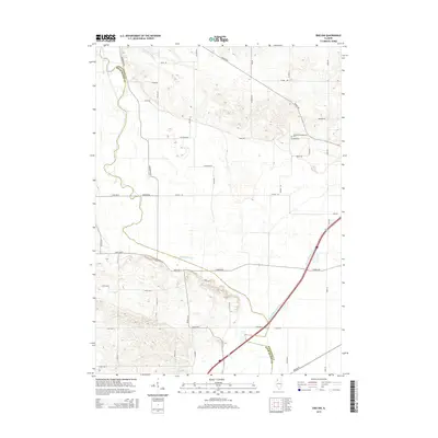
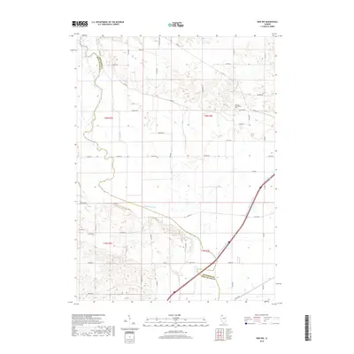
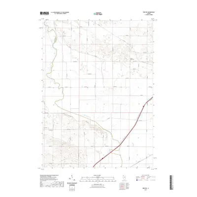
1983 Map of Hazelhurst
USGS Topo · Published 1984About this map
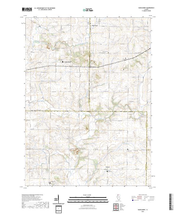
Elkhorn Creek meanders through the heart of this landscape, cutting across the convergence of Ogle, Carroll, and Whiteside counties. The area is defined by its rural intersections and scattered hamlets like Hazelhurst and South Elkhorn, which reflect the agricultural backbone of northwestern Illinois in the early 1980s. A strong sense of local heritage is evident in the many family-named river crossings, including Weidenhamer Bridge and Wolf Bridge, alongside long-established rural institutions such as Elkhorn Ch and East Jordan Ch.
Find a feature on this map
61 named features on this map. Tap any name to fly to it.
Don’t see what you’re looking for? This feature index may not catch every label — zoom into the map to look around manually.
Map Details
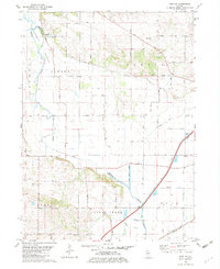
Editions of this 1983 Hazelhurst Map
This is the sole edition of this map. No revisions or reprints were ever made.
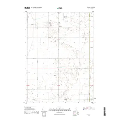
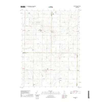
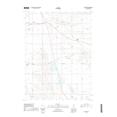
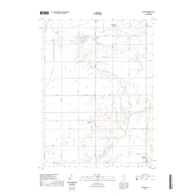
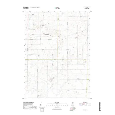
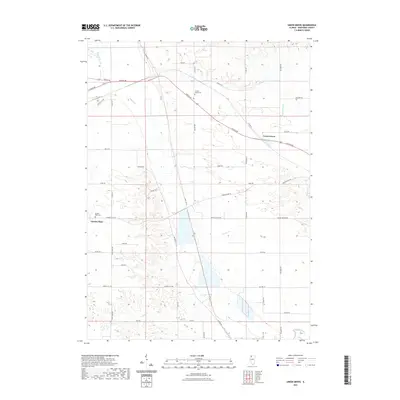
Historical Maps of Eagle Point Through Time
25 maps found

1930 Woodsung
Whiteside County, IL
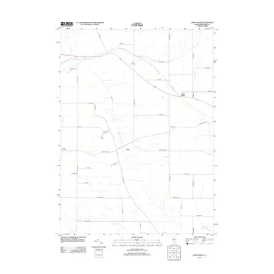
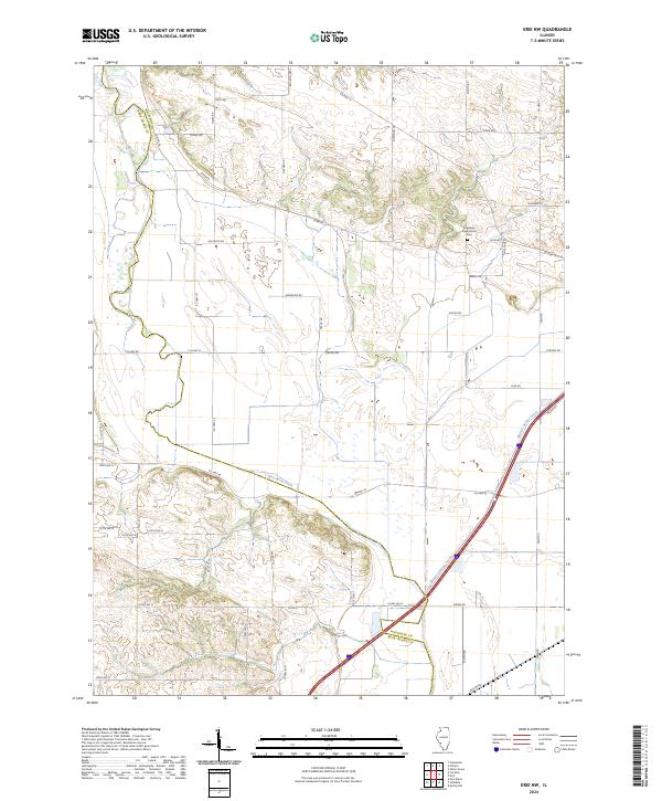
1982 Erie NW
Whiteside County, IL
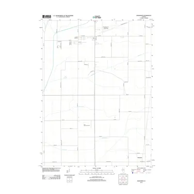
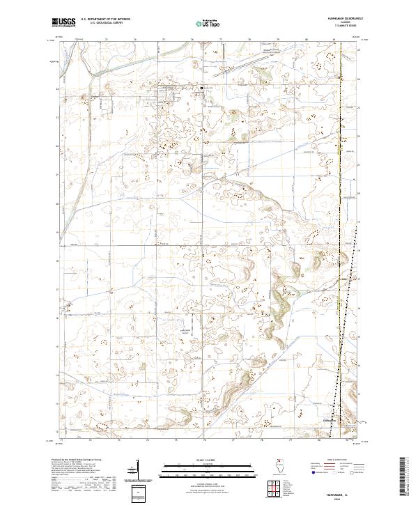
1982 Hahnaman
Whiteside County, IL
1983 Hazelhurst
Whiteside County, IL
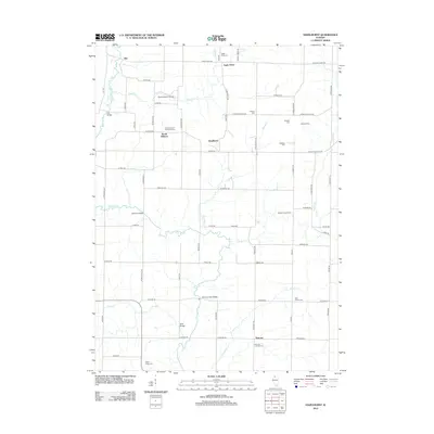
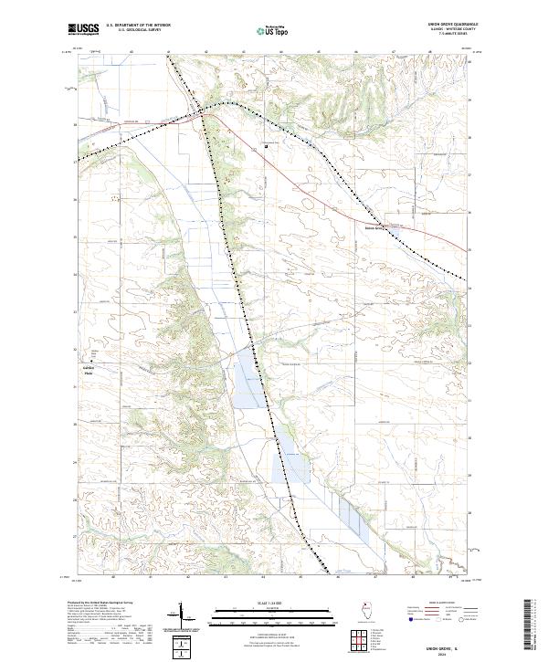
1985 Union Grove
Whiteside County, IL
2012 Erie NW
Whiteside County, IL
2012 Hahnaman
Whiteside County, IL
2012 Hazelhurst
Whiteside County, IL
2012 Union Grove
Whiteside County, IL
2015 Erie NW
Whiteside County, IL
2015 Hahnaman
Whiteside County, IL
2015 Hazelhurst
Whiteside County, IL
2015 Union Grove
Whiteside County, IL
2018 Erie NW
Whiteside County, IL
2018 Hahnaman
Whiteside County, IL
2018 Hazelhurst
Whiteside County, IL
2018 Union Grove
Whiteside County, IL
2021 Erie NW
Whiteside County, IL
2021 Hahnaman
Whiteside County, IL
2021 Hazelhurst
Whiteside County, IL
2021 Union Grove
Whiteside County, IL
2024 Erie NW
Whiteside County, IL
2024 Hahnaman
Whiteside County, IL
2024 Hazelhurst
Whiteside County, IL
2024 Union Grove
Whiteside County, IL