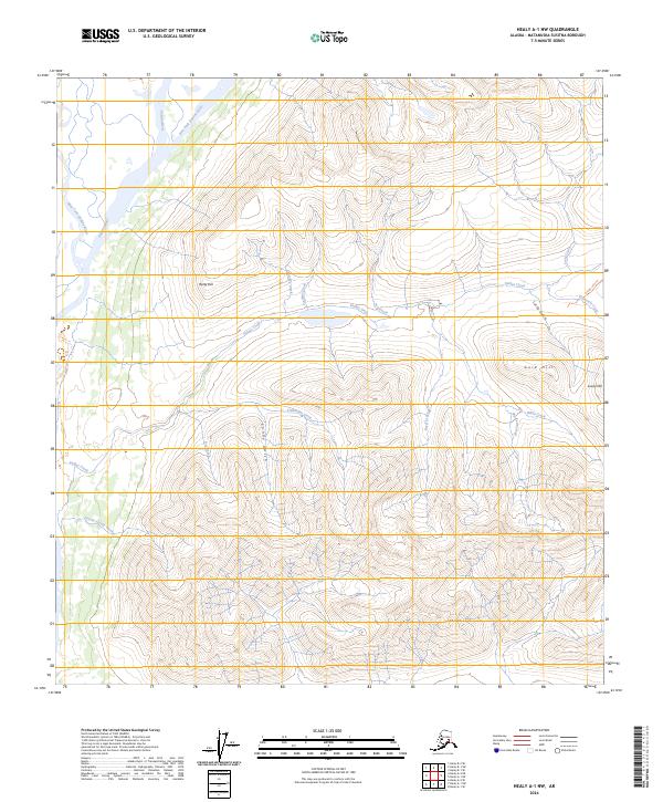
2024 Map of Healy A-1 NW
USGS Topo · Published 2024About this map
The Susitna River and its major tributaries, the East Fork Susitna River and West Fork Susitna River, dominate this Matanuska-Susitna landscape. The terrain is characterized by a complex network of high-elevation drainages and prominent peaks, including Gold Hill and Rusty Hill. This area is marked by a history of mineral exploration and access, evident in naming conventions such as Lucky Gulch and Sunny Gulch. Smaller watercourses like Valdez Creek and Caribou Creek cut through the high ground, while the Grogg Lake Trl indicates established routes through the interior. The lack of dense modern infrastructure in this 2024 survey reflects the preserved, wild character of the upper Susitna drainage, where the landscape remains shaped primarily by glacial and fluvial processes.
Find a feature on this map
30 named features on this map. Tap any name to fly to it.
Don’t see what you’re looking for? This feature index may not catch every label — zoom into the map to look around manually.
Map Details
Editions of this 2024 Healy A-1 NW Map
This is the sole edition of this map. No revisions or reprints were ever made.
Other maps of this area

1949 · Healy B-2
USGS Topo · 1:63,360

1949 · Healy A-1
USGS Topo · 1:63,360

1950 · Healy B-1
USGS Topo · 1:63,360

1951 · Healy
USGS Topo · 1:250,000

1951 · Healy A-2
USGS Topo · 1:63,360
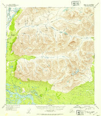
1952 · Healy A-1
USGS Topo · 1:63,360

1952 · Healy B-1
USGS Topo · 1:63,360

1952 · Healy A-2
USGS Topo · 1:63,360

1952 · Healy B-2
USGS Topo · 1:63,360

1956 · Healy
USGS Topo · 1:250,000