
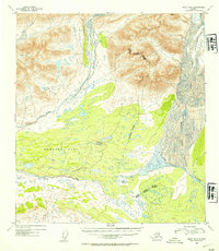
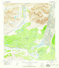
1952 Map of Healy B-2
USGS Topo · Published 1954About this map
Nenana Glacier feeds a complex network of glacial meltwater and mountain streams in this mid-century topographic study. The landscape is dominated by the broad drainage basin of Monahan Flat, where the upper reaches of the Nenana River and the Susitna River system converge near the jurisdictional boundary of the Third and Fourth Judicial Divisions. The topographical detail reveals the braided nature of the glacial outlets, particularly evident where the West Fork Glacier contributes its volume to the valley floor. High-altitude survey markers like VABM 5756 Fork provide reference points for the steep elevation changes surrounding the central flats. This mapping reflects the era's focus on defining hydrographic patterns and transit corridors in the interior, documented just as aerial multiplex methods were refining our understanding of the subarctic terrain.
Find a feature on this map
12 named features on this map. Tap any name to fly to it.
Don’t see what you’re looking for? This feature index may not catch every label — zoom into the map to look around manually.
Map Details
Editions of this 1952 Healy B-2 Map
3 editions found
Other maps of this area

1949 · Healy C-3
USGS Topo · 1:63,360

1949 · Healy B-2
USGS Topo · 1:63,360

1949 · Healy A-1
USGS Topo · 1:63,360

1950 · Healy A-3
USGS Topo · 1:63,360

1950 · Healy B-3
USGS Topo · 1:63,360

1950 · Healy B-1
USGS Topo · 1:63,360

1951 · Healy
USGS Topo · 1:250,000

1951 · Healy C-1
USGS Topo · 1:63,360

1951 · Healy C-2
USGS Topo · 1:63,360

1951 · Healy A-2
USGS Topo · 1:63,360