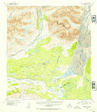
1952 Map of Healy B-2
USGS Topo · Published 1954About this map
Monahan Flat dominates the central landscape of this 1950s Alaskan interior survey, appearing as a broad expanse of low-lying terrain at the headwaters of major glacial drainage systems. The northern reaches are defined by the Nenana River and its icy origins at Nenana Glacier, while the southern and eastern portions of the map track the glacial melt feeding the West Fork Susitna River and the expansive West Fork Glacier.
Find a feature on this map
11 named features on this map. Tap any name to fly to it.
Don’t see what you’re looking for? This feature index may not catch every label — zoom into the map to look around manually.
Map Details
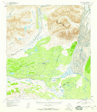
Editions of this 1952 Healy B-2 Map
3 editions found

Other maps of this area

1949 · Healy C-3
USGS Topo · 1:63,360

1949 · Healy B-2
USGS Topo · 1:63,360

1949 · Healy A-1
USGS Topo · 1:63,360

1950 · Healy A-3
USGS Topo · 1:63,360

1950 · Healy B-3
USGS Topo · 1:63,360

1950 · Healy B-1
USGS Topo · 1:63,360

1951 · Healy
USGS Topo · 1:250,000

1951 · Healy C-1
USGS Topo · 1:63,360

1951 · Healy C-2
USGS Topo · 1:63,360

1951 · Healy A-2
USGS Topo · 1:63,360