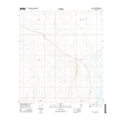
2016 Map of Healy A-2 NE
USGS Topo · Published 2016About this map
The Denali Highway cuts a lone path across this high-altitude landscape in the southern interior of Alaska, following the natural contours of the terrain between major drainage basins. This section of the corridor serves as a vital transit point near the headwaters of the Susitna River, which dominates the eastern edge of the survey. The hydraulic character of the region is defined by the braided channels and glacial runoff of Valdez Cr and Monahan Cr, showcasing the complex water networks that influence travel and seasonal access in this part of the Matanuska-Susitna Borough. Towards the south, Wickersham Cr winds through the hills, illustrating the remote and largely undeveloped nature of the land south of the highway during the early twenty-first century.
Find a feature on this map
11 named features on this map. Tap any name to fly to it.
Don’t see what you’re looking for? This feature index may not catch every label — zoom into the map to look around manually.
Map Details
Editions of this 2016 Healy A-2 NE Map
This is the sole edition of this map. No revisions or reprints were ever made.
Other maps of this area

1949 · Healy B-2
USGS Topo · 1:63,360

1949 · Healy A-1
USGS Topo · 1:63,360

1950 · Healy B-1
USGS Topo · 1:63,360

1951 · Healy
USGS Topo · 1:250,000

1951 · Healy A-2
USGS Topo · 1:63,360
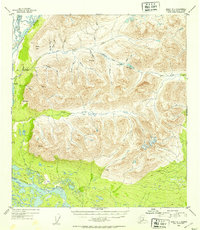
1952 · Healy A-1
USGS Topo · 1:63,360

1952 · Healy B-1
USGS Topo · 1:63,360

1952 · Healy A-2
USGS Topo · 1:63,360

1952 · Healy B-2
USGS Topo · 1:63,360

1956 · Healy
USGS Topo · 1:250,000