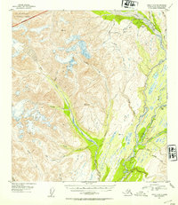
1953 Map of Healy A-6
USGS Topo · Published 1954About this map
The Alaska Railroad cuts through the river valleys of the Matanuska-Susitna region in the early 1950s, following the drainage of the West Fork Chulitna River. This high-altitude landscape is defined by the massive Alaska Range and the southern edge of Mt McKinley National Park. The survey illustrates the era's industrial activity with the Golden Zone Mine and Silver King Mine perched near Bryn Mawr Creek, highlighting the region's mineral extraction history during a period of infrastructure expansion.
Find a feature on this map
34 named features on this map. Tap any name to fly to it.
Don’t see what you’re looking for? This feature index may not catch every label — zoom into the map to look around manually.
Map Details
Editions of this 1953 Healy A-6 Map
3 editions found

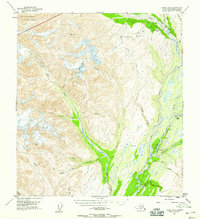
Other maps of this area

1949 · Talkeetna Mountains D-6
USGS Topo · 1:63,360

1949 · Healy A-6
USGS Topo · 1:63,360

1950 · Talkeetna Mountains
USGS Topo · 1:250,000

1950 · Talkeetna
USGS Topo · 1:250,000

1950 · Talkeetna Mountains D-5
USGS Topo · 1:63,360

1950 · Healy A-5
USGS Topo · 1:63,360

1950 · Healy B-5
USGS Topo · 1:63,360

1951 · Talkeetna
USGS Topo · 1:250,000

1951 · Healy
USGS Topo · 1:250,000

1951 · Talkeetna Mountains D-5
USGS Topo · 1:63,360