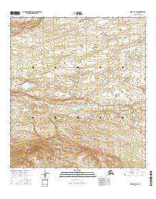
2016 Map of Healy B-2 SW
USGS Topo · Published 2016About this map
The Denali Highway cuts a lone path through the southern portion of this landscape, providing the primary overland corridor through an otherwise unpopulated expanse of the Alaska interior. The northern reaches are defined by the broad, braided course of the Nenana River, while the central portion is occupied by the expansive Monahan Flat. This low-lying drainage basin collects the waters of Monahan Cr as they flow north from the higher elevations near the highway. The lack of named settlements emphasizes the character of the region as a wild transit zone between mountain ranges. In the southeast, Canyon Cr drains steeper terrain, illustrating the complex hydrology that feeds the larger river systems of the Alaska Range during the early twenty-first century.
Find a feature on this map
9 named features on this map. Tap any name to fly to it.
Don’t see what you’re looking for? This feature index may not catch every label — zoom into the map to look around manually.
Map Details
Editions of this 2016 Healy B-2 SW Map
This is the sole edition of this map. No revisions or reprints were ever made.
Other maps of this area

1949 · Healy B-2
USGS Topo · 1:63,360

1950 · Healy A-3
USGS Topo · 1:63,360

1950 · Healy B-3
USGS Topo · 1:63,360

1951 · Healy
USGS Topo · 1:250,000

1951 · Healy A-2
USGS Topo · 1:63,360
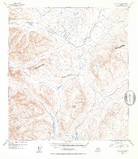
1952 · Healy A-3
USGS Topo · 1:63,360
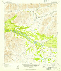
1952 · Healy B-3
USGS Topo · 1:63,360

1952 · Healy A-2
USGS Topo · 1:63,360

1952 · Healy B-2
USGS Topo · 1:63,360

1956 · Healy
USGS Topo · 1:250,000