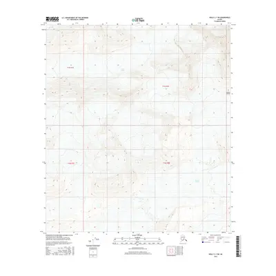
2016 Map of Healy C-1 SW
USGS Topo · Published 2016About this map
Yanert Glacier flows through the northern reaches of this high-altitude landscape, illustrating the glaciated terrain within the Alaska Range. The map reveals the intricate drainage patterns and elevation profiles of the central Alaskan interior, dominated by the expansive W Fork Glacier in the southeast. This 2016 survey provides a detailed look at the ice and rock formations that define the region, following the Public Land Survey System grids of t15s r1e, t15s r2e, t16s r1e, and t16s r2e. Unlike maps of developed regions, the focus here is entirely on the movement of ice and the natural contours of the land, providing a baseline for researchers tracking glacial change and geographical shifts in the Alaskan wilderness.
Find a feature on this map
7 named features on this map. Tap any name to fly to it.
Don’t see what you’re looking for? This feature index may not catch every label — zoom into the map to look around manually.
Map Details
Editions of this 2016 Healy C-1 SW Map
This is the sole edition of this map. No revisions or reprints were ever made.
Other maps of this area

1949 · Healy B-2
USGS Topo · 1:63,360

1950 · Healy B-1
USGS Topo · 1:63,360

1951 · Healy
USGS Topo · 1:250,000

1951 · Healy C-1
USGS Topo · 1:63,360

1951 · Healy C-2
USGS Topo · 1:63,360

1952 · Healy B-1
USGS Topo · 1:63,360

1952 · Healy B-2
USGS Topo · 1:63,360

1956 · Healy
USGS Topo · 1:250,000
2016 · Healy C-1 SE
USGS Topo · 1:25,000
2016 · Healy B-1 NW
USGS Topo · 1:25,000