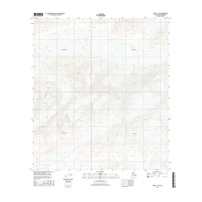
2016 Map of Healy C-2 SE
USGS Topo · Published 2016About this map
Yanert Glacier and Nenana Glacier dominate this interior landscape within the Alaska-Denali Borough. This 2016 survey provides a high-resolution view of the glacial reaches and the surrounding high-altitude terrain at a 1:25,000 scale. The map reveals the intricate contour patterns of the eastern Alaska Range, illustrating the drainage divides and glacial flow directions between these two major ice masses. Located within the intersection of the t15s r1w, t15s r1e, t16s r1w, and t16s r1e townships, the sheet serves as a primary record of the cryosphere and topography in this remote region before further 21st-century environmental shifts.
Find a feature on this map
8 named features on this map. Tap any name to fly to it.
Don’t see what you’re looking for? This feature index may not catch every label — zoom into the map to look around manually.
Map Details
Editions of this 2016 Healy C-2 SE Map
This is the sole edition of this map. No revisions or reprints were ever made.
Other maps of this area

1949 · Healy B-2
USGS Topo · 1:63,360

1950 · Healy B-1
USGS Topo · 1:63,360

1951 · Healy
USGS Topo · 1:250,000

1951 · Healy C-1
USGS Topo · 1:63,360

1951 · Healy C-2
USGS Topo · 1:63,360

1952 · Healy B-1
USGS Topo · 1:63,360

1952 · Healy B-2
USGS Topo · 1:63,360

1956 · Healy
USGS Topo · 1:250,000
2016 · Healy C-1 SW
USGS Topo · 1:25,000
2016 · Healy B-1 NW
USGS Topo · 1:25,000