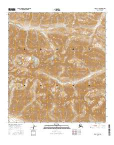
2016 Map of Healy D-2 SE
USGS Topo · Published 2016About this map
The Alaska Range dominates this interior landscape, where glacial runoff feeds a network of remote waterways. Steep drainages define the topography, with W Fork Little Delta River carving a significant path through the southern half of the quadrangle. In the northern reaches, Kansas Creek and Glory Cr flow through high-elevation valleys, illustrating the complex drainage patterns of the region. The absence of roads or established settlements on this survey emphasizes the wilderness character of the Denali Borough during this period. Researchers can observe the intersections of township boundaries like t12s r1w and t12s r1e, which provide a geographic grid over the otherwise trackless terrain. Smaller tributaries such as Virginia Cr and Dry Cr further detail the hydrological profile of this high-latitude mountain environment.
Find a feature on this map
11 named features on this map. Tap any name to fly to it.
Don’t see what you’re looking for? This feature index may not catch every label — zoom into the map to look around manually.
Map Details
Editions of this 2016 Healy D-2 SE Map
This is the sole edition of this map. No revisions or reprints were ever made.
Other maps of this area

1949 · Healy D-1
USGS Topo · 1:63,360

1951 · Healy
USGS Topo · 1:250,000

1951 · Healy C-1
USGS Topo · 1:63,360

1951 · Healy C-2
USGS Topo · 1:63,360
1951 · Healy D-2
USGS Topo · 1:63,360
1952 · Healy D-1
USGS Topo · 1:63,360
1952 · Healy D-2
USGS Topo · 1:63,360

1956 · Healy
USGS Topo · 1:250,000
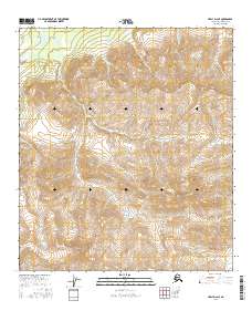
2016 · Healy D-2 NE
USGS Topo · 1:25,000
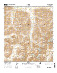
2016 · Healy C-2 NW
USGS Topo · 1:25,000