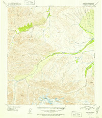
1952 Map of Healy D-1
USGS Topo · Published 1952About this map
The West Fork Little Delta River dominates this high-altitude interior landscape, carving a wide glacial valley through the mountains south of the Tanana River. This 1952 edition reflects the region as it was surveyed shortly after the Second World War, capturing a vast drainage system defined by Dry Creek and Buchanan Creek. The lack of any roads, trails, or permanent structures highlights the isolation of this judicial division, where the only human imprints are the triangulation stations established by the Coast and Geodetic Survey. Distinctive peaks such as Red Mountain and high-altitude markers like VABM 6463 Art serve as the primary landmarks for navigation across the drainage divides of Iowa Creek and Portage Creek.
Find a feature on this map
12 named features on this map. Tap any name to fly to it.
Don’t see what you’re looking for? This feature index may not catch every label — zoom into the map to look around manually.
Map Details
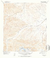
Editions of this 1952 Healy D-1 Map
2 editions found
Other maps of this area

1949 · Big Delta A-6
USGS Topo · 1:63,360

1949 · Fairbanks A-2
USGS Topo · 1:63,360

1949 · Fairbanks A-1
USGS Topo · 1:63,360

1949 · Healy D-1
USGS Topo · 1:63,360

1950 · Fairbanks
USGS Topo · 1:250,000

1950 · Mount Hayes
USGS Topo · 1:250,000

1950 · Big Delta
USGS Topo · 1:250,000

1950 · Mount Hayes D-6
USGS Topo · 1:63,360

1951 · Healy
USGS Topo · 1:250,000

1951 · Big Delta
USGS Topo · 1:250,000