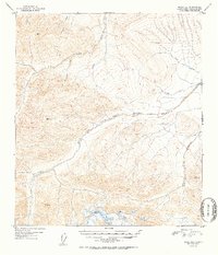
1952 Map of Healy D-1
USGS Topo · Published 1952About this map
The West Fork Little Delta River dominates this interior Alaska landscape, carving through high-elevation terrain as it was recorded by the Geological Survey just after mid-century. This 1952 edition is primarily a study of drainage patterns and vertical relief, featuring several prominent survey control points like VABM 8159 Marianne and VABM 6463 Art.
Find a feature on this map
13 named features on this map. Tap any name to fly to it.
Don’t see what you’re looking for? This feature index may not catch every label — zoom into the map to look around manually.
Map Details
Editions of this 1952 Healy D-1 Map
2 editions found
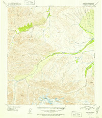
Other maps of this area

1949 · Big Delta A-6
USGS Topo · 1:63,360

1949 · Fairbanks A-2
USGS Topo · 1:63,360

1949 · Fairbanks A-1
USGS Topo · 1:63,360

1949 · Healy D-1
USGS Topo · 1:63,360

1950 · Fairbanks
USGS Topo · 1:250,000

1950 · Mount Hayes
USGS Topo · 1:250,000

1950 · Big Delta
USGS Topo · 1:250,000

1950 · Mount Hayes D-6
USGS Topo · 1:63,360

1951 · Healy
USGS Topo · 1:250,000

1951 · Big Delta
USGS Topo · 1:250,000