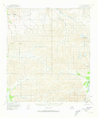
1950 Map of Healy D-3
USGS Topo · Published 1973About this map
Usibelli Peak and Mount Lathrop anchor this high-elevation interior Alaskan landscape, which was field-annotated in the mid-twentieth century. The terrain is defined by a dense network of drainages that feed into the larger Tatlatnika River and Wood River systems. Watercourses like Last Chance Creek, Gold King Creek, and Dexter Creek reveal a naming convention often associated with early prospecting and exploration in the region.
Find a feature on this map
25 named features on this map. Tap any name to fly to it.
Don’t see what you’re looking for? This feature index may not catch every label — zoom into the map to look around manually.
Map Details
Editions of this 1950 Healy D-3 Map
3 editions found
Other maps of this area

1949 · Healy C-3
USGS Topo · 1:63,360

1949 · Fairbanks A-2
USGS Topo · 1:63,360

1950 · Fairbanks
USGS Topo · 1:250,000

1950 · Healy D-4
USGS Topo · 1:63,360

1950 · Healy C-4
USGS Topo · 1:63,360

1950 · Fairbanks A-4
USGS Topo · 1:63,360

1950 · Fairbanks A-3
USGS Topo · 1:63,360

1950 · Healy D-3
USGS Topo · 1:63,360

1951 · Healy
USGS Topo · 1:250,000

1951 · Fairbanks
USGS Topo · 1:250,000