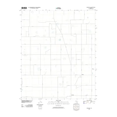
2010 Map of Heckville
USGS Topo · Published 2010About this map
Becton and Heckville appear as primary nodes in this agricultural region of Lubbock County at the start of the 21st century. The landscape is defined by a rigid grid of rural routes, including N Fm 400 and N Fm 2902-N C R 2900, which connect scattered homesteads and farming operations. This 2010 survey illustrates the transition of the South Plains, where once-bustling agricultural centers have consolidated. A quiet sense of local history is preserved at the Becton Cemetery, while the naming conventions of small-town streets such as Alaska St, Nazareth St, and Franklin St hint at the planned residential layouts that once supported a larger rural population.
Find a feature on this map
35 named features on this map. Tap any name to fly to it.
Don’t see what you’re looking for? This feature index may not catch every label — zoom into the map to look around manually.
Map Details
Editions of this 2010 Heckville Map
This is the sole edition of this map. No revisions or reprints were ever made.
Other maps of this area

1954 · Lubbock
USGS Topo · 1:250,000

1956 · New Deal
USGS Topo · 1:24,000

1957 · Lubbock
USGS Topo · 1:62,500

1957 · Abernathy
USGS Topo · 1:62,500

1965 · Idalou
USGS Topo · 1:24,000

1965 · Petersburg
USGS Topo · 1:24,000

1965 · Lorenzo
USGS Topo · 1:24,000

1965 · Heckville
USGS Topo · 1:24,000

1968 · Barwise
USGS Topo · 1:24,000

1968 · Julia Lake
USGS Topo · 1:24,000