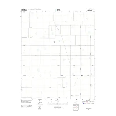
2012 Map of Heckville
USGS Topo · Published 2012About this map
The agricultural landscape of Lubbock County, Texas, is defined here by a rigid grid of county roads and fruit-inspired street names, surrounding the small communities of Becton and Heckville. This 2012 survey reveals a land organized for large-scale farming, where the vast High Plains terrain is segmented by thoroughfares like Farm-To-Market Road 2060 and Fm-400. While much of the area is devoted to expansive fields, local history remains anchored at the Becton Cem, located north of the primary settlement. The naming convention of north-south avenues such as Nectarine Ave, Verbena Ave, and Mango Ave provides a distinct character to the rural road network, contrasting with the more functional designations of the surrounding county road system. Small topographic depressions dot the landscape, indicating the natural drainage patterns of this semi-arid region.
Find a feature on this map
41 named features on this map. Tap any name to fly to it.
Don’t see what you’re looking for? This feature index may not catch every label — zoom into the map to look around manually.
Map Details
Editions of this 2012 Heckville Map
This is the sole edition of this map. No revisions or reprints were ever made.
Other maps of this area

1954 · Lubbock
USGS Topo · 1:250,000

1956 · New Deal
USGS Topo · 1:24,000

1957 · Lubbock
USGS Topo · 1:62,500

1957 · Abernathy
USGS Topo · 1:62,500

1965 · Idalou
USGS Topo · 1:24,000

1965 · Petersburg
USGS Topo · 1:24,000

1965 · Lorenzo
USGS Topo · 1:24,000

1965 · Heckville
USGS Topo · 1:24,000

1968 · Barwise
USGS Topo · 1:24,000

1968 · Julia Lake
USGS Topo · 1:24,000