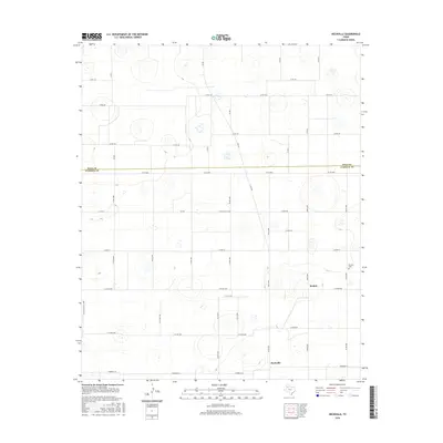
2016 Map of Heckville
USGS Topo · Published 2016About this map
The agrarian landscape of the Texas Panhandle is defined by a precise grid of county roads and intermittent playas. This region, positioned along the Hale and Lubbock county line, centers on the small communities of Becton and Heckville. The settlement pattern is strictly governed by the section lines, with rural life anchored by the Becton Cem and a network of transit routes including E Fm 597 and Alaska St. The topographic relief is minimal, dominated by numerous small, circular depressions or basins that dot the plains, providing a unique look at the localized hydrology of the Llano Estacado. These features, often occurring in clusters, contrast with the engineered regularity of the road network, which includes thoroughfares like Tombrock St and E Co Rd 5300.
Find a feature on this map
40 named features on this map. Tap any name to fly to it.
Don’t see what you’re looking for? This feature index may not catch every label — zoom into the map to look around manually.
Map Details
Editions of this 2016 Heckville Map
This is the sole edition of this map. No revisions or reprints were ever made.
Other maps of this area

1954 · Lubbock
USGS Topo · 1:250,000

1956 · New Deal
USGS Topo · 1:24,000

1957 · Lubbock
USGS Topo · 1:62,500

1957 · Abernathy
USGS Topo · 1:62,500

1965 · Idalou
USGS Topo · 1:24,000

1965 · Petersburg
USGS Topo · 1:24,000

1965 · Lorenzo
USGS Topo · 1:24,000

1965 · Heckville
USGS Topo · 1:24,000

1968 · Barwise
USGS Topo · 1:24,000

1968 · Julia Lake
USGS Topo · 1:24,000