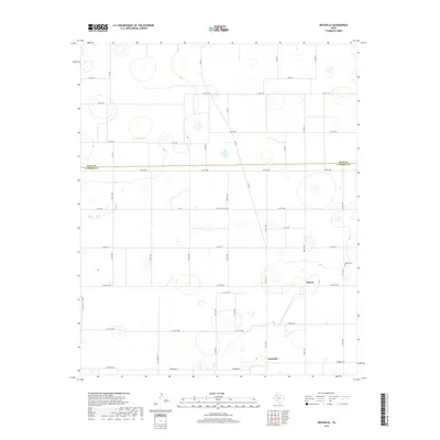
2019 Map of Heckville
USGS Topo · Published 2019About this map
Becton and Heckville anchor this agricultural landscape on the high plains of the Texas Panhandle, positioned along the border where Hale and Lubbock Counties meet. The map reveals a strictly organized grid of rural roads and state highways like Fm 400, reflecting the region's systematic approach to land use and cotton farming. A key landmark for local history and genealogy is the Becton Cemetery, located just north of the town site. The terrain is characterized by numerous small, seasonal depressional wetlands known as playas, which appear as scattered blue-stippled features across the open country, serving as the primary natural drainage and water collection points in this otherwise flat environment.
Find a feature on this map
40 named features on this map. Tap any name to fly to it.
Don’t see what you’re looking for? This feature index may not catch every label — zoom into the map to look around manually.
Map Details
Editions of this 2019 Heckville Map
This is the sole edition of this map. No revisions or reprints were ever made.
Other maps of this area

1954 · Lubbock
USGS Topo · 1:250,000

1956 · New Deal
USGS Topo · 1:24,000

1957 · Lubbock
USGS Topo · 1:62,500

1957 · Abernathy
USGS Topo · 1:62,500

1965 · Idalou
USGS Topo · 1:24,000

1965 · Petersburg
USGS Topo · 1:24,000

1965 · Lorenzo
USGS Topo · 1:24,000

1965 · Heckville
USGS Topo · 1:24,000

1968 · Barwise
USGS Topo · 1:24,000

1968 · Julia Lake
USGS Topo · 1:24,000