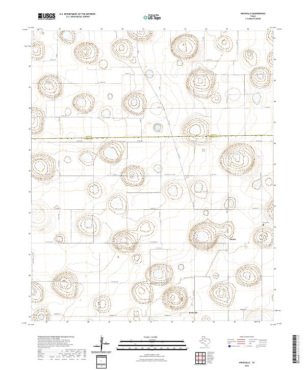
2022 Map of Heckville
USGS Topo · Published 2022About this map
Becton and Heckville anchor this agricultural landscape on the High Plains, situated at the boundary where Hale Co meets Lubbock Co. The map documents a strictly organized grid of rural roads and farm-to-market routes, such as FM 400 and FM 597, which define the region's transportation network. A key point of interest for genealogists and local historians is the Becton Cem, located just east of the small community center. The terrain is characterized by subtle depressions and numerous small, seasonal basins typical of the Llano Estacado, appearing here as isolated contours and wetland clusters. This layout reflects the long-standing cotton and grain farming traditions of the Texas Panhandle, where individual homesteads and small settlements are linked by named thoroughfares like Alaska St and Ebony Ave.
Find a feature on this map
40 named features on this map. Tap any name to fly to it.
Don’t see what you’re looking for? This feature index may not catch every label — zoom into the map to look around manually.
Map Details
Editions of this 2022 Heckville Map
This is the sole edition of this map. No revisions or reprints were ever made.
Other maps of this area

1954 · Lubbock
USGS Topo · 1:250,000

1956 · New Deal
USGS Topo · 1:24,000

1957 · Lubbock
USGS Topo · 1:62,500

1957 · Abernathy
USGS Topo · 1:62,500

1965 · Idalou
USGS Topo · 1:24,000

1965 · Petersburg
USGS Topo · 1:24,000

1965 · Lorenzo
USGS Topo · 1:24,000

1965 · Heckville
USGS Topo · 1:24,000

1968 · Barwise
USGS Topo · 1:24,000

1968 · Julia Lake
USGS Topo · 1:24,000