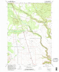
1962 Map of Hehe Butte
USGS Topo · Published 1995About this map
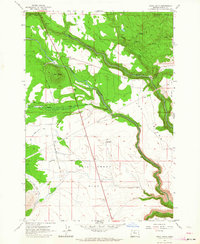
The Warm Springs Indian Reservation in Wasco County serves as the backdrop for this mid-century topographic study, defined by the winding course of the Warm Springs River. The landscape is a high plateau broken by prominent volcanic features like Hehe Butte and Simnasho Butte, which rise above the expansive Beaver Creek Prairie and Mill Creek Flat. A network of early access routes, including Schoolie Road and Sidwater Buttes Road, provides passage through this terrain, where agricultural and water management infrastructure like the Canal and the Island Windmill appear as isolated markers of human presence. The drainage patterns of Beaver Creek, Badger Creek, and Quartz Creek demonstrate the complex hydrology of the region before modern development altered the land use. This map is particularly valuable for documenting the specific locations of geographic landmarks and early roads within the reservation during the early 1960s.
Find a feature on this map
24 named features on this map. Tap any name to fly to it.
Don’t see what you’re looking for? This feature index may not catch every label — zoom into the map to look around manually.
Map Details
Editions of this 1962 Hehe Butte Map
2 editions found
Other maps of this area

1924 · Mount Hood
USGS Topo · 1:125,000

1927 · Mount Hood
USGS Topo · 1:125,000

1927 · Mt. Jefferson
USGS Topo · 1:125,000

1928 · Madras
USGS Topo · 1:125,000

1930 · Mt. Jefferson
USGS Topo · 1:125,000

1930 · Dufur
USGS Topo · 1:125,000

1931 · Madras
USGS Topo · 1:125,000

1934 · Dufur
USGS Topo · 1:125,000

1953 · The Dalles
USGS Topo · 1:250,000

1955 · Bend
USGS Topo · 1:250,000