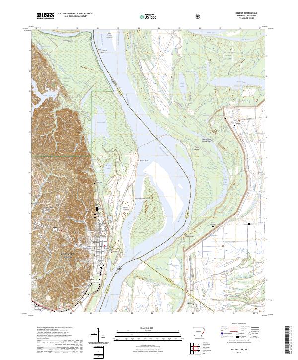
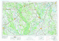
2024 Map of Helena
USGS Topo · Published 2024About this map
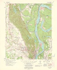
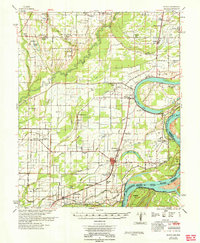
Helena-West Helena serves as the focal point for this study of the Mississippi River's shifting path along the border of Arkansas and Mississippi. The landscape is defined by the sharp contrast between the elevated terrain of Crowley's Ridge and the expansive alluvial bottomlands dominated by the Mississippi River and the Saint Francis River. This transition zone is dense with historical sites, particularly numerous burial grounds such as the Confederate Cem, Maple Hill Cem, and Cedar Grove Cem that ring the city center.
Find a feature on this map
80 named features on this map. Tap any name to fly to it.
Don’t see what you’re looking for? This feature index may not catch every label — zoom into the map to look around manually.
Map Details
Editions of this 2024 Helena Map
This is the sole edition of this map. No revisions or reprints were ever made.
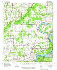
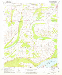
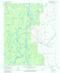
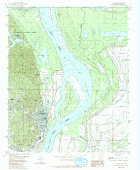
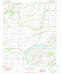
Historical Maps of Eagle Landing Through Time
26 maps found
1939 Latour
Phillips County, AR

1939 Modoc
Phillips County, AR

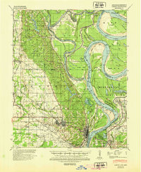
1948 Helena
Phillips County, AR
1948 Modoc
Phillips County, AR
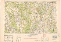
1950 Helena
Phillips County, AR
1955 Helena
Phillips County, AR

1955 Latour
Phillips County, AR

1959 Helena
Phillips County, AR

1960 Helena
Phillips County, AR

1961 Latour
Phillips County, AR
1963 Latour
Phillips County, AR
1963 Modoc
Phillips County, AR
1964 Friars Point NW
Phillips County, AR
1964 Modoc
Phillips County, AR
1967 Henrico NE
Phillips County, AR
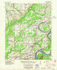
1982 Helena
Phillips County, AR
1982 Lakeview
Phillips County, AR
1982 Lambrook
Phillips County, AR
1982 Watkins Corner
Phillips County, AR
1982 West Helena
Phillips County, AR
2024 Helena
Phillips County, AR
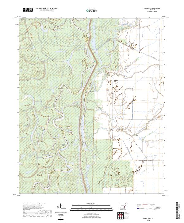
2024 Henrico NE
Phillips County, AR
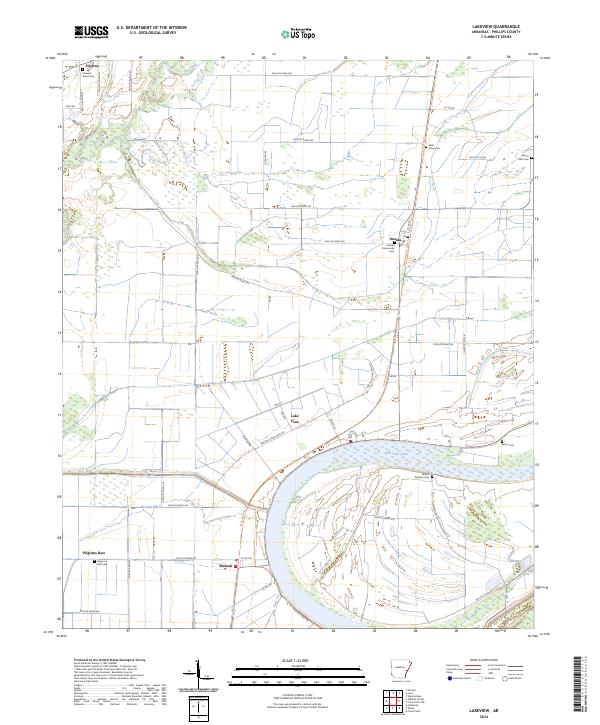
2024 Lakeview
Phillips County, AR
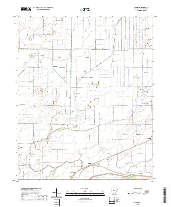
2024 Lambrook
Phillips County, AR
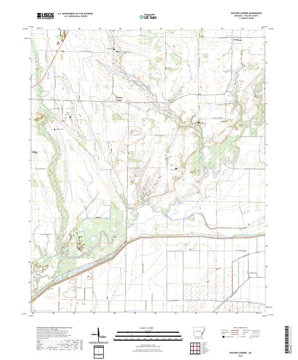
2024 Watkins Corner
Phillips County, AR
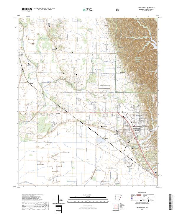
2024 West Helena
Phillips County, AR
Featured Locations
- Jeffries, MS
- Helena-West Helena, AR
- Eagle Landing, MS
- Midland Heights, Helena-West Helena
- Oak Forest, Helena-West Helena