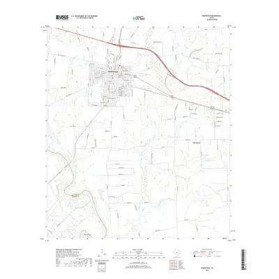
2019 Map of Hempstead
USGS Topo · Published 2019About this map
Hempstead serves as the central hub of this modern survey, revealing a grid of streets positioned at the intersection of major transit corridors like 290 and Bus 290. The town's historical foundations are evident in the placement of Brenham Cem on its northwestern edge. To the southwest, the Brazos River forms a prominent natural boundary between Waller Co and Austin Co, winding through a landscape of creek systems and rural lanes. The map tracks the shift from the dense residential and commercial blocks of the city to the outlying rural settlements of Pine Island and the bend in the river known as Raccoon Bend. Numerous waterways, including Clear Cr, Lewisville Cr, and Threemile Cr, branch across the territory, illustrating the hydrological drainage patterns that define the region's agricultural and residential development.
Find a feature on this map
184 named features on this map. Tap any name to fly to it.
Don’t see what you’re looking for? This feature index may not catch every label — zoom into the map to look around manually.
Map Details
Editions of this 2019 Hempstead Map
This is the sole edition of this map. No revisions or reprints were ever made.
Other maps of this area
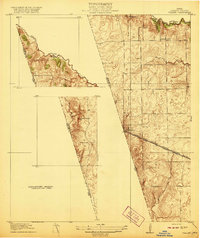
1920 · Waller
USGS Topo · 1:31,680
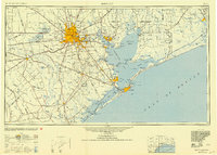
1950 · Houston
USGS Topo · 1:250,000

1953 · Seguin
USGS Topo · 1:250,000

1954 · Beaumont
USGS Topo · 1:250,000

1954 · Austin
USGS Topo · 1:250,000
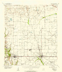
1955 · Brookshire
USGS Topo · 1:62,500
1956 · Sealy
USGS Topo · 1:62,500
1956 · Hempstead
USGS Topo · 1:62,500
1956 · Houston
USGS Topo · 1:250,000

1957 · Beaumont
USGS Topo · 1:250,000