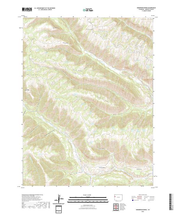
2022 Map of Henderson Ridge
USGS Topo · Published 2022About this map
Henderson Ridge and Horse Ridge dominate this corner of Garfield County, defining a landscape of high benches and deeply cut drainages. The map illustrates a complex network of seasonal water sources critical to this arid high-country environment, including Henderson Spring, Sheep Corral Spring, and the sequentially named Second Water Spring, Third Water Spring, and Fourth Water Spring along the southern slopes. These water points suggest long-standing grazing or migratory patterns across the plateaus.
Find a feature on this map
55 named features on this map. Tap any name to fly to it.
Don’t see what you’re looking for? This feature index may not catch every label — zoom into the map to look around manually.
Map Details
Editions of this 2022 Henderson Ridge Map
This is the sole edition of this map. No revisions or reprints were ever made.
Other maps of this area

1929 · Highmore
USGS Topo · 1:62,500

1929 · Roan Creek
USGS Topo · 1:62,500

1956 · Grand Junction
USGS Topo · 1:250,000

1959 · Grand Junction
USGS Topo · 1:250,000

1960 · Grand Junction
USGS Topo · 1:250,000

1962 · Grand Junction
USGS Topo · 1:250,000

1964 · Grand Junction
USGS Topo · 1:250,000

1964 · Brushy Point
USGS Topo · 1:24,000

1964 · Henderson Ridge
USGS Topo · 1:24,000

1964 · Calf Canyon
USGS Topo · 1:24,000