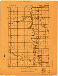
1918 Map of Hendrum
USGS Topo · Published 1918About this map
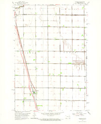
The Red River of the North forms a serpentine boundary between Traill Co. North Dakota and Norman Co. Minnesota in this 1918 military survey. The landscape is defined by the heavy drainage infrastructure of the Red River Valley, with numerous unnamed ditches supporting the fertile farmland of Caledonia and Hillsboro to the west. The Great Northern railroad runs parallel to the river on the Minnesota side, serving as the economic spine for the rail-side communities of Shelly Station, Halstad Station, and Hendrum Station.
Find a feature on this map
23 named features on this map. Tap any name to fly to it.
Don’t see what you’re looking for? This feature index may not catch every label — zoom into the map to look around manually.
Map Details
Editions of this 1918 Hendrum Map
This is the sole edition of this map. No revisions or reprints were ever made.
Other maps of this area
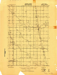
1918 · Kelso
USGS Topo · 1:62,500
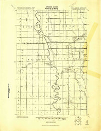
1919 · Eldred
USGS Topo · 1:62,500
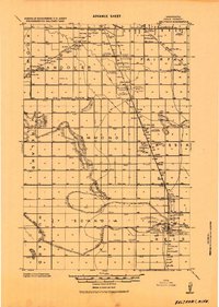
1919 · Beltrami
USGS Topo · 1:62,500
1924 · Ada
USGS Topo · 1:62,500
1943 · Kelso
USGS Topo · 1:62,500

1952 · Grand Forks
USGS Topo · 1:250,000

1956 · Grand Forks
USGS Topo · 1:250,000
1963 · Shelly
USGS Topo · 1:24,000
1963 · Perley
USGS Topo · 1:24,000
1963 · Gardner
USGS Topo · 1:24,000