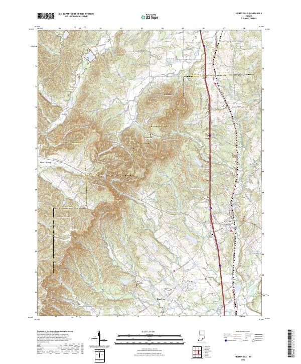
2022 Map of Henryville
USGS Topo · Published 2022About this map
Henryville serves as the central hub of this landscape at the intersection of three counties, where the high ridges of the Bartle Knobs and Round Knob give way to the drainage basins of the Miller Fork and Blue Lick Cr. The terrain is defined by a dense network of recreational paths, notably the Clark Sf Horse Trails Trl, which wind through the forested highlands between New Liberty and the Silver Hills. To the north, the small settlement of Underwood sits near the headwaters of Pigeon Roost Cr, while the southern reaches are marked by residential developments like Blue Lick near Champions Pointe Pkwy. Local history is anchored by sites such as Mount Zion Cem and Mountain Grove Cem, which remain as markers of the rural communities that have long inhabited this portion of Southern Indiana. The map also traces the path of Railroad St and several managed water bodies including Schlamm Lake, Franke Lake, and Big Bass Lake.
Find a feature on this map
68 named features on this map. Tap any name to fly to it.
Don’t see what you’re looking for? This feature index may not catch every label — zoom into the map to look around manually.
Map Details
Editions of this 2022 Henryville Map
This is the sole edition of this map. No revisions or reprints were ever made.
Other maps of this area

1905 · Prospect
USGS Topo · 1:62,500

1912 · Prospect
USGS Topo · 1:62,500

1937 · Charlestown
USGS Topo · 1:24,000

1938 · Speed
USGS Topo · 1:24,000

1941 · Borden
USGS Topo · 1:24,000

1947 · Speed
USGS Topo · 1:24,000

1947 · Scottsburg
USGS Topo · 1:24,000

1949 · Henryville
USGS Topo · 1:24,000
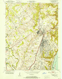
1950 · Charlestown
USGS Topo · 1:24,000

1955 · South Boston
USGS Topo · 1:24,000