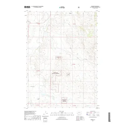
2017 Map of Heppner
USGS Topo · Published 2017About this map
Buffalo Gap National Grassland dominates this South Dakota landscape, reflecting the federal conservation efforts and land management of the early 21st century. The terrain is characterized by a sparse, expansive drainage network where seasonal waterways like Hat Cr and Bitter Cr carve through the high plains. The area around Heppner shows a pattern of rural land use defined more by public boundaries and grazing rights than by dense settlement, with the presence of Bgng designations marking the intersection of agriculture and environmental preservation.
Find a feature on this map
26 named features on this map. Tap any name to fly to it.
Don’t see what you’re looking for? This feature index may not catch every label — zoom into the map to look around manually.
Map Details
Editions of this 2017 Heppner Map
This is the sole edition of this map. No revisions or reprints were ever made.
Other maps of this area
1896 · Oelrichs
USGS Topo · 1:125,000
1900 · Oelrichs
USGS Topo · 1:125,000
1902 · Edgemont
USGS Topo · 1:125,000
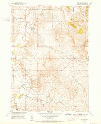
1950 · Heppner
USGS Topo · 1:24,000
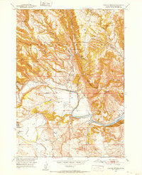
1950 · Cascade Springs
USGS Topo · 1:24,000
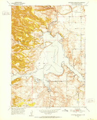
1950 · Angostura Reservoir
USGS Topo · 1:24,000
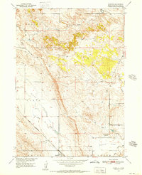
1950 · Rumford
USGS Topo · 1:24,000
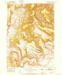
1950 · Flint Hill
USGS Topo · 1:24,000
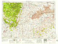
1955 · Hot Springs
USGS Topo · 1:250,000
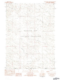
1982 · Black Banks Creek West
USGS Topo · 1:25,000