
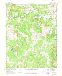
1960 Map of Herd
USGS Topo · Published 1961About this map
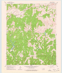
The Atchison Topeka and Santa Fe railroad cuts across the northern reaches of Osage County, linking the small settlements of Herd and Bigheart. This 1960 landscape is defined by the intersection of industrial development and early recreational conservation. Numerous Oil Wells and a large Oil Field are scattered throughout the hills, particularly around the Mission Creek drainage, illustrating the petroleum-driven economy of the region.
Find a feature on this map
25 named features on this map. Tap any name to fly to it.
Don’t see what you’re looking for? This feature index may not catch every label — zoom into the map to look around manually.
Map Details
Editions of this 1960 Herd Map
4 editions found
Other maps of this area

1906 · Nelagoney
USGS Topo · 1:24,000

1909 · Pawhuska
USGS Topo · 1:125,000

1910 · Pawhuska
USGS Topo · 1:125,000

1955 · Enid
USGS Topo · 1:250,000

1958 · Enid
USGS Topo · 1:250,000

1960 · Nanos
USGS Topo · 1:24,000

1960 · Nelagoney
USGS Topo · 1:24,000

1960 · Pawhuska
USGS Topo · 1:24,000
1971 · Bowring
USGS Topo · 1:24,000
1971 · Woolaroc
USGS Topo · 1:24,000