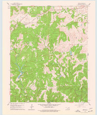
1960 Map of Herd
USGS Topo · Published 1977About this map
Herd and Bigheart anchor this 1960 survey of Osage County, where the industrial footprint of petroleum extraction is evident across the landscape. The region is marked by numerous Oil Wells and a Quarry, illustrating a period of active resource development. The Atchison Topeka and Santa Fe railroad cuts across the northern terrain, providing the essential transportation link for the local economy.
Find a feature on this map
22 named features on this map. Tap any name to fly to it.
Don’t see what you’re looking for? This feature index may not catch every label — zoom into the map to look around manually.
Map Details
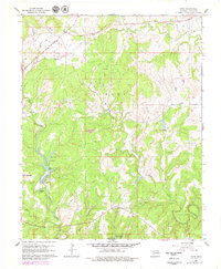
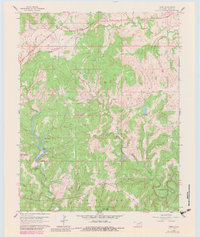
Editions of this 1960 Herd Map
4 editions found
Other maps of this area

1906 · Nelagoney
USGS Topo · 1:24,000

1909 · Pawhuska
USGS Topo · 1:125,000

1910 · Pawhuska
USGS Topo · 1:125,000

1955 · Enid
USGS Topo · 1:250,000

1958 · Enid
USGS Topo · 1:250,000

1960 · Nanos
USGS Topo · 1:24,000

1960 · Nelagoney
USGS Topo · 1:24,000

1960 · Herd
USGS Topo · 1:24,000

1960 · Pawhuska
USGS Topo · 1:24,000
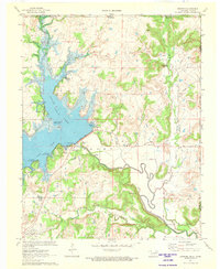
1971 · Bowring
USGS Topo · 1:24,000